Farmhouses and Farm Buildings · Undated
Hofgebäude

Classification
- Subject area
- Architectural and Art Monuments
- Category
- Residential and Farm Buildings
- Object type
- Farmhouses and Farm Buildings
- Date
- Undatiert
- Period
- Undated
Location
- District
- Eifelkreis Bitburg-Prüm
- Collective municipality
- Südeifel
- Municipality
- Schankweiler
- Street
- Kirchstraße
- Field name
- Ortslage
- Coordinates
- WGS 84: 49.897514, 6.383071 (Position: within the village) WGS 84: 49° 53′ 51.1″ N, 6° 22′ 59.1″ E UTM 32 (ETRS89): E 312065 · N 5530520
Sources
On the internet
Picture credits
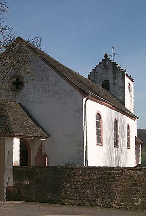
- Picture 1: © Helge Rieder, Konz, 2000
Last edited: 26 Dec 2000 Object ID: 2823
https://kulturdb.de/en/objekt/2823-schankweiler-hofgebaeude
Nearby
The nearest objects
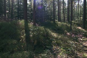 less than 10 m
Burial Mounds
Hügelgräber
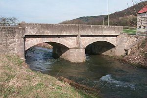 less than 10 m
Road Transport
Enzbrücke
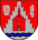 less than 10 m
Coats of Arms
Wappen der Gemeinde Schankweiler
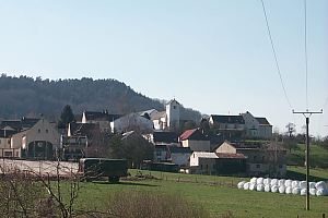 less than 10 m
Place Names / Local History
Chronik der Gemeinde Schankweiler
No picture
50 m
Catering, Inns and Hotels
Gasthaus
No picture
100 m
Chapels
Friedhofskapelle
 110 m
Catholic Churches
Sankt Michael
No picture
180 m
Farmhouses and Farm Buildings