Burial Mounds · Celtic / Roman Period
Hügelgräber
- Listed monument


Description
This description is only available in German.
Translate with Google opens this page in Google Translate (external service)
Gräber aus der jüngeren Bronzezeit. Die Grabgrube wurde abwechselnd mit Erd- und Steinschichten abgedeckt, so dass ein Grabhügel entstand. Die Hügel enthalten alle keine Funde mehr.
Classification
- Subject area
- Archaeological Monuments
- Category
- Burials
- Object type
- Burial Mounds
- Date
- 12. bis 11. Jahrhundert vor Chr.
- Period
- Celtic / Roman Period
Location
- District
- Eifelkreis Bitburg-Prüm
- Collective municipality
- Südeifel
- Municipality
- Schankweiler
- Field name
- Ortslage
- Coordinates
- WGS 84: 49.897514, 6.383071 (Position: within the village) WGS 84: 49° 53′ 51.1″ N, 6° 22′ 59.1″ E UTM 32 (ETRS89): E 312065 · N 5530520
Sources
Data sources
- Informationstafel
On the internet
Picture credits
Last edited: 7 Oct 2003 Object ID: 586
https://kulturdb.de/en/objekt/586-schankweiler-huegelgraeber
Nearby
The nearest objects
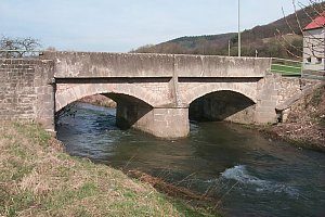 less than 10 m
Road Transport
Enzbrücke
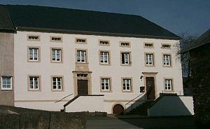 less than 10 m
Farmhouses and Farm Buildings
Hofgebäude
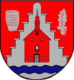 less than 10 m
Coats of Arms
Wappen der Gemeinde Schankweiler
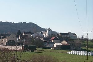 less than 10 m
Place Names / Local History
Chronik der Gemeinde Schankweiler
Catering, Inns and Hotels
Gasthaus
Chapels
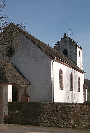
Friedhofskapelle
 110 m
Catholic Churches
Sankt Michael
Farmhouses and Farm Buildings