Jewish Cemeteries · Historicism / Art Nouveau
Jüdischer Friedhof
Denkmalzone
- Listed monument


Description
This description is only available in German.
Translate with Google opens this page in Google Translate (external service)
1900 angelegt, umfriedetes Areal, vier Grabsteine ab 1914 und zahlreiche Fragmente. [1]
Classification
- Subject area
- Natural Features
- Category
- Parks, Gardens and Cemeteries
- Object type
- Jewish Cemeteries
- Date
- 1900
Location
- District
- Trier-Saarburg
- Collective municipality
- Trier-Land
- Municipality
- Kordel
- Street
- Unterm Möhnerberg 14
- Field name
- Im Möhnerberg
- Coordinates
- WGS 84: 49.839068, 6.628830 (Position: exact) WGS 84: 49° 50′ 20.6″ N, 6° 37′ 43.8″ E UTM 32 (ETRS89): E 329507 · N 5523435
Sources
Data sources
- [1] Seite „Liste der Kulturdenkmäler in Kordel (Eifel)“. In: Wikipedia, Die freie Enzyklopädie. Bearbeitungsstand: 26. September 2017, 14:35 UTC. URL: https://de.wikipedia.org/w/index.php?title=Liste_der_Kulturdenkm%C3… (Abgerufen: 13. Januar 2019, 16:02 UTC)
On the internet
Picture credits
Last edited: 15 Sep 2019 Object ID: 2846
https://kulturdb.de/en/objekt/2846-kordel-juedischer-friedhof
Nearby
The nearest objects
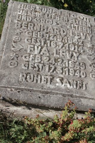 less than 10 m
Jewish History
Jüdische Geschichte
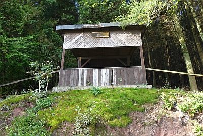 60 m
Viewpoints
Zur schönen Aussicht
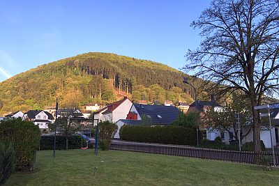 90 m
Field Names
Im Möhnerberg
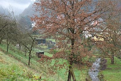 120 m
Field Names
In der Altbach
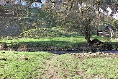 140 m
Fords
Furt durch den Altbach
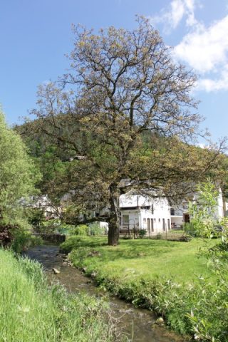 150 m
Walnut Trees
Nussbaum an der Furt durch den Altbach
No picture
180 m
Washing Places
Ehemaliger Waschplatz und Bleichwiese am Altbach
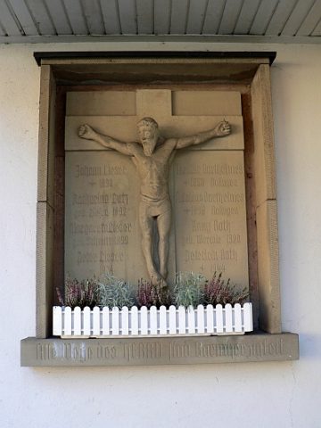 190 m
Wayside Shrines and Stations of the Cross