Field Names · Undated
Jenseits Scheid


© GeoBasis-DE / LVermGeoRP, dl-de/by-2-0
There is no picture of this object yet. Do you have a photo that you would like to make available to the Kulturdatenbank? Submit a picture
Description
This description is only available in German.
Translate with Google opens this page in Google Translate (external service)
Scheid - ein Flurname, der sich aus dem Althochdeutschen 'Sceida' erklären lässt. Demnach markiert 'Scheid' eine Trennung, eine Grenze, ein abgetrenntes Flächenstück.
Classification
- Subject area
- History
- Category
- Field Names
- Date
- Undatiert
- Period
- Undated
Location
- District
- Vulkaneifel
- Collective municipality
- Daun
- Municipality
- Schalkenmehren
- Field name
- Jenseits Scheid
- Coordinates
- WGS 84: 50.159661, 6.861926 (Position: exact) WGS 84: 50° 09′ 34.8″ N, 6° 51′ 42.9″ E UTM 32 (ETRS89): E 347285 · N 5558571
Sources
Data sources
On the internet
Last edited: 27 Jun 2013 Object ID: 28678
https://kulturdb.de/en/objekt/28678-schalkenmehren-jenseits-scheid
Nearby
The nearest objects
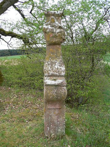 180 m
Wayside Shrines and Stations of the Cross
Hermes-Kreuz
Field Names
Diesseits Scheid
Field Names
Hinter Scheid
Field Names
In dem Mohrpesch
Field Names
Kopperpesch
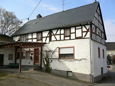 510 m
Catering, Inns and Hotels
Ehemaliges Brauhaus
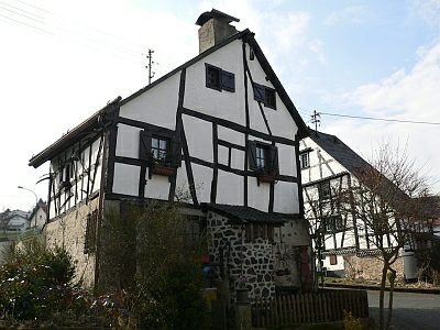 550 m
Farmhouses and Farm Buildings
Fachwerkhaus
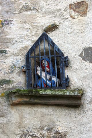 550 m
Wayside Shrines and Stations of the Cross