Synagogues · Undated
Jüdische Kultur


© GeoBasis-DE / LVermGeoRP, dl-de/by-2-0
There is no picture of this object yet. Do you have a photo that you would like to make available to the Kulturdatenbank? Submit a picture
Description
This description is only available in German.
Translate with Google opens this page in Google Translate (external service)
Ort, für die ein Synagoge, Bethaus, Betraum oder Mikwe - zumindest archivalisch - nachgewiesen ist.
[Dieter Peters und Martina Strehlen: Jüdische Begräbnisstätten, Gedenkstätten in Rheinland-Pfalz.]
Zur Synagoge:
Nutzungsbeginn: Keine Informationen, eine jüdische Gemeinde bestand ab dem 18. Jahrhundert
Nutzungsende: In der NS-Zeit
[http://www.synagogen.info/]
Classification
- Subject area
- Architectural and Art Monuments
- Category
- Religious Buildings
- Object type
- Synagogues
- Date
- Undatiert
- Period
- Undated
Location
- District
- Vulkaneifel
- Collective municipality
- Gerolstein
- Town
- Hillesheim
- Field name
- Ortslage
- Coordinates
- WGS 84: 50.291562, 6.671746 (Position: within the village) WGS 84: 50° 17′ 29.6″ N, 6° 40′ 18.3″ E UTM 32 (ETRS89): E 334160 · N 5573642
Sources
Data sources
- Dieter Peters und Martina Strehlen: Jüdische Begräbnisstätten, Gedenkstätten in Rheinland-Pfalz. SACHOR Heft 16-2/98. Verlag Matthias Ess, Bleichstr. 25, 55543 Bad Kreuznach.
On the internet
Last edited: 23 Nov 2005 Object ID: 2913
https://kulturdb.de/en/objekt/2913-hillesheim-juedische-kultur
Nearby
The nearest objects
 less than 10 m
Place Names / Local History
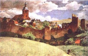
Erste Erwähnung von Hillesheim
 less than 10 m
Coats of Arms
Wappen der Stadt Hillesheim
Town Houses and Commercial Buildings
Wohn- und Geschäftshaus
 90 m
Chartered Towns
Stadtrechte
 130 m
Historic Townscapes
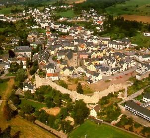
Historisches Ortsbild
 140 m
Organs
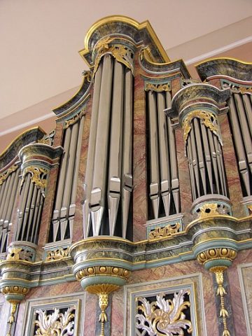
Stumm-Orgel in Sankt Martin
Extraction and Processing of Raw Materials
Ehemalige Gerberei
Courthouses