Lime Trees · Undated
130-jährige Linde


© GeoBasis-DE / LVermGeoRP, dl-de/by-2-0
There is no picture of this object yet. Do you have a photo that you would like to make available to the Kulturdatenbank? Submit a picture
Description
This description is only available in German.
Translate with Google opens this page in Google Translate (external service)
Mit einem Mahnkreuz an den deutsch-französischen Krieg von 1870 / 71. [1]
Classification
- Subject area
- Natural Features
- Category
- Trees
- Object type
- Lime Trees
- Date
- Undatiert
- Period
- Undated
Location
- District
- Trier-Saarburg
- Collective municipality
- Ruwer
- Municipality
- Gusterath
- Field name
- Gehstegwiesen
- Coordinates
- WGS 84: 49.702116, 6.710472 (Position: exact) WGS 84: 49° 42′ 07.6″ N, 6° 42′ 37.7″ E UTM 32 (ETRS89): E 334912 · N 5508028
Sources
Data sources
- [1] Juliane Neu und Karl-Josef Prüm: Natur live erleben. 11 Rad und Wandertouren zu den schönsten Naturdenkmalen im Kreis Trier-Saarburg. Verlag Sanfter Tourismus Trier. 1996
On the internet
Last edited: 23 May 2001 Object ID: 2971
https://kulturdb.de/en/objekt/2971-gusterath-130-jaehrige-linde
Nearby
The nearest objects
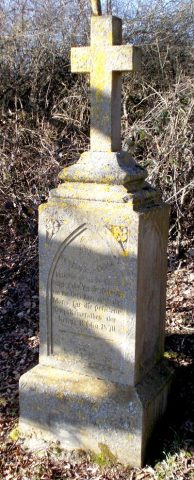 40 m
War Memorials
Kriegergedächtniskreuz
Wayside Shrines and Stations of the Cross
Wegekreuz
Catholic Churches
Sankt Martin
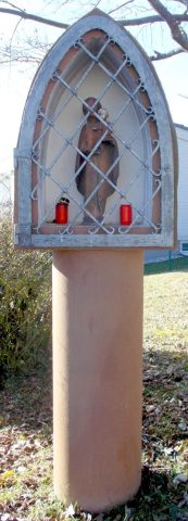 310 m
Wayside Shrines and Stations of the Cross
Bildstock
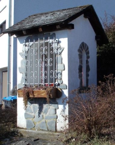 360 m
Wayside Shrine Houses
Heiligenhäuschen
Field Names
Zwergen auf der Höh
Field Names
Krummlängten oberm Brandsborn
Field Names