Field Names · Undated
Unter dem Reiterrech


© GeoBasis-DE / LVermGeoRP, dl-de/by-2-0
There is no picture of this object yet. Do you have a photo that you would like to make available to the Kulturdatenbank? Submit a picture
Description
This description is only available in German.
Translate with Google opens this page in Google Translate (external service)
Rech - Die seitlichen Hänge nennt der Volksmund "Rech", eine Böschung also, zu deren Füßen Schlehen und Weißdorn wuchsen. [1]
Classification
- Subject area
- History
- Category
- Field Names
- Date
- Undatiert
- Period
- Undated
Location
- District
- Vulkaneifel
- Collective municipality
- Daun
- Municipality
- Wallenborn
- Field name
- Unter dem Reiterrech
- Coordinates
- WGS 84: 50.157683, 6.710715 (Position: exact) WGS 84: 50° 09′ 27.7″ N, 6° 42′ 38.6″ E UTM 32 (ETRS89): E 336479 · N 5558672
Sources
Data sources
- [1] Joachim Schröder in: http://www.joachim-schroeder.com/html/flurnamen.html
On the internet
Last edited: 13 Jul 2013 Object ID: 29893
https://kulturdb.de/en/objekt/29893-wallenborn-unter-dem-reiterrech
Nearby
The nearest objects
Field Names
Auf dem Reiterrech
Field Names
In der Hag
Field Names
Auf der Acht
Field Names
Auf dem Schankenrech
Field Names
Unter dem Hagenrech
Field Names
Auf dem untersten Hagenrech
 460 m
Wayside Shrines and Stations of the Cross
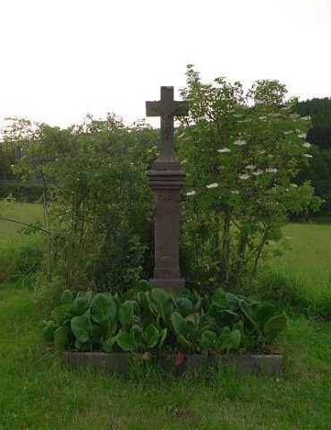
Wegekreuz westlich der Ortslage
Field Names