Volcanoes · Undated
Vulkan Mühlenberg


© GeoBasis-DE / LVermGeoRP, dl-de/by-2-0
There is no picture of this object yet. Do you have a photo that you would like to make available to the Kulturdatenbank? Submit a picture
Classification
- Subject area
- Natural Features
- Category
- Geological Features
- Object type
- Volcanoes
- Date
- Undatiert
- Period
- Undated
Location
- District
- Vulkaneifel
- Collective municipality
- Gerolstein
- Municipality
- Hohenfels-Essingen
- Locality / location
- Hohenfels
- Field name
- Der Mühlenberg
- Coordinates
- WGS 84: 50.255200, 6.733660 (Position: exact) WGS 84: 50° 15′ 18.7″ N, 6° 44′ 01.2″ E UTM 32 (ETRS89): E 338447 · N 5569463
Sources
Data sources
- [1] Wilhelm Meyer: Geologie der Eifel. 4. Auflage, 2013. E. Schweizerbart'sche Verlagsbuchhandlung, Stuttgart. ISBN 978-3-510-65279-2
On the internet
Last edited: 8 Aug 2013 Object ID: 30182
https://kulturdb.de/en/objekt/30182-hohenfels-essingen-vulkan-muehlenberg
Nearby
The nearest objects
 30 m
Caves
Sankt-Martins-Höhle
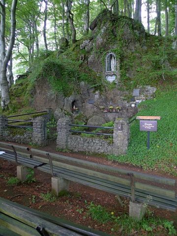 50 m
Marian Grottoes
Mariengrotte am Mühlenberg
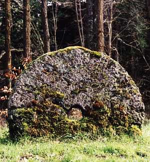 60 m
Caves
Mühlsteinhöhle Schwedenfeste Grotte
No picture
60 m
Volcanoes
Vulkan südwestlich vom Mühlenberg
80 m
Caves
Mühlsteinhöhle Borussia-Grotte
90 m
Caves
Mühlsteinhöhle
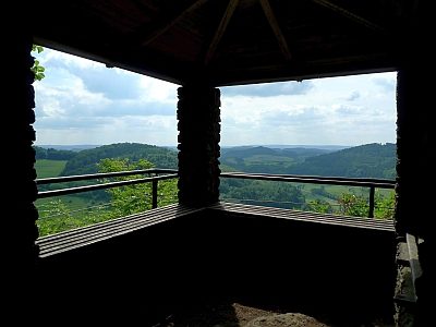 110 m
Viewpoints
Aussichtspunkt auf dem Mühlenberg
120 m
Caves