Volcanoes · Undated
Vulkan Rother Maar


© GeoBasis-DE / LVermGeoRP, dl-de/by-2-0
There is no picture of this object yet. Do you have a photo that you would like to make available to the Kulturdatenbank? Submit a picture
Classification
- Subject area
- Natural Features
- Category
- Geological Features
- Object type
- Volcanoes
- Date
- Undatiert
- Period
- Undated
Location
- District
- Vulkaneifel
- Town
- Gerolstein
- Locality / location
- Roth
- Field name
- Auf Kanzensberg
- Coordinates
- WGS 84: 50.257900, 6.622040 (Position: exact) WGS 84: 50° 15′ 28.4″ N, 6° 37′ 19.3″ E UTM 32 (ETRS89): E 330501 · N 5570011
Sources
Data sources
- [1] Wilhelm Meyer: Geologie der Eifel. 4. Auflage, 2013. E. Schweizerbart'sche Verlagsbuchhandlung, Stuttgart. ISBN 978-3-510-65279-2
On the internet
Last edited: 16 Aug 2013 Object ID: 30215
https://kulturdb.de/en/objekt/30215-gerolstein-vulkan-rother-maar
Nearby
The nearest objects
No picture
300 m
Dry Maars
Rother Maar
No picture
360 m
Field Names
Am Herrenrech
No picture
370 m
Field Names
In der Hasengich
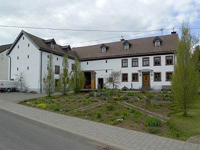 480 m
Farmhouses and Farm Buildings
Winkelhof
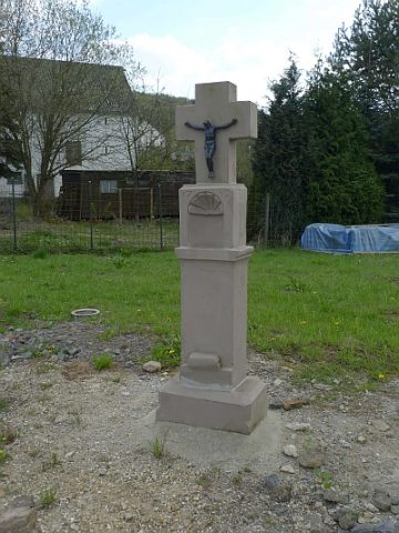 510 m
Wayside Shrines and Stations of the Cross
Schaftkreuz von 1759
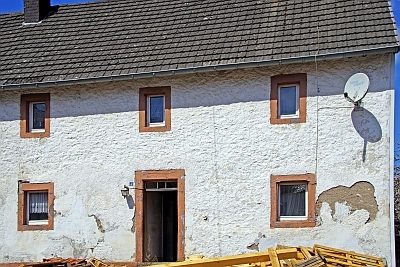 520 m
Farmhouses and Farm Buildings
Quereinhaus
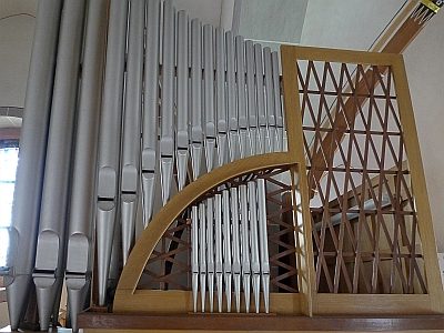 570 m
Organs
Sankt Antonius - Orgel
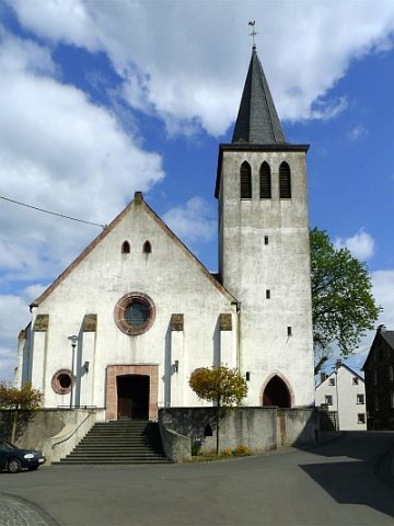 570 m
Catholic Churches