Wayside Shrines and Stations of the Cross · Undated
Wegekreuz


© GeoBasis-DE / LVermGeoRP, dl-de/by-2-0
There is no picture of this object yet. Do you have a photo that you would like to make available to the Kulturdatenbank? Submit a picture
Description
This description is only available in German.
Translate with Google opens this page in Google Translate (external service)
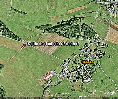
Beim Höhenpunkt 568,9 Meter über Normal-Null. [1]
Classification
- Subject area
- Architectural and Art Monuments
- Category
- Religious Buildings
- Object type
- Wayside Shrines and Stations of the Cross
- Date
- Undatiert
- Period
- Undated
Location
- District
- Vulkaneifel
- Collective municipality
- Kelberg
- Municipality
- Sassen
- Field name
- Im Landberg
- Coordinates
- WGS 84: 50.262638, 6.960985 (Position: exact) WGS 84: 50° 15′ 45.5″ N, 6° 57′ 39.5″ E UTM 32 (ETRS89): E 354673 · N 5569822
Sources
Data sources
- [1] GeoPortal des Landes Rheinland-Pfalz. Http://www.geoportal.rlp.de/
On the internet
Last edited: 14 Aug 2013 Object ID: 30267
https://kulturdb.de/en/objekt/30267-sassen-wegekreuz
Nearby
The nearest objects
Field Names
In der Rotherhecke
Wayside Shrines and Stations of the Cross
Wegekreuz
Wayside Shrines and Stations of the Cross
Wegekreuz
Field Names
Auf der Rotherhecke
Field Names
Ober der Sauerwies
Field Names
Auf der Acht
Catholic Churches
Fachwerkhaus
 560 m
Burial Mounds