Wayside Shrines and Stations of the Cross · Baroque / Rococo
Kreuz auf der Höhe Zommischberg
Johannes-Wallfahrtskreuz
- Listed monument


© GeoBasis-DE / LVermGeoRP, dl-de/by-2-0
There is no picture of this object yet. Do you have a photo that you would like to make available to the Kulturdatenbank? Submit a picture
Description
This description is only available in German.
Translate with Google opens this page in Google Translate (external service)
Classification
- Subject area
- Architectural and Art Monuments
- Category
- Religious Buildings
- Object type
- Wayside Shrines and Stations of the Cross
- Date
- 1736
- Period
- Baroque / Rococo
Location
- District
- Vulkaneifel
- Collective municipality
- Gerolstein
- Municipality
- Oberbettingen
- Field name
- Auf dem Zimmersberg
- Coordinates
- WGS 84: 50.284275, 6.604970 (Position: exact) WGS 84: 50° 17′ 03.4″ N, 6° 36′ 17.9″ E UTM 32 (ETRS89): E 329379 · N 5572982
Sources
Data sources
- [1] http://www.eifelverein.net/steffeln/images/Flurkreuze__Denkmäler_in…
- [2] Denkmalliste des Landes Rheinland-Pfalz (Stand: 3. Januar 2013). "Liste der Kulturdenkmäler in Oberbettingen". In: Wikipedia, Die freie Enzyklopädie. Bearbeitungsstand: 23. Juli 2015, 13:12 UTC. URL: https://de.wikipedia.org/w/index.php?title=Liste_der_Kulturdenkm%C3… (Abgerufen: 14. März 2017, 22:05 UTC)
On the internet
Last edited: 14 Mar 2017 Object ID: 30283
https://kulturdb.de/en/objekt/30283-oberbettingen-kreuz-auf-der-hoehe-zommischberg
Nearby
The nearest objects
Extraction and Processing of Raw Materials
Mühlsteinbruch am Mühlenberg
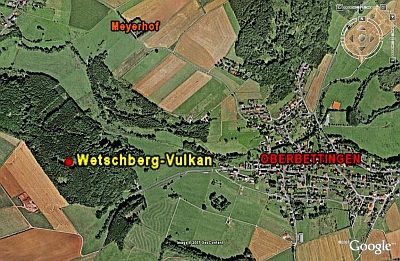 420 m
Volcanoes
Vulkan Wetschberg
Wayside Shrines and Stations of the Cross
Schaftzkreuz an der Steinebrück
Field Names
Im Kautenelter
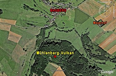 470 m
Volcanoes
Mühlenberg-Vulkan
Wayside Shrines and Stations of the Cross
Sandsteinkreuz in Kautenhelter
 580 m
Road Transport
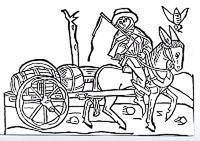
Weinstraße (9)
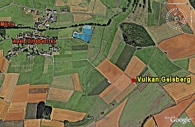 610 m
Volcanoes