Wayside Shrines and Stations of the Cross · 20th Century
Wegekreuz


Classification
- Subject area
- Architectural and Art Monuments
- Category
- Religious Buildings
- Object type
- Wayside Shrines and Stations of the Cross
- Date
- 1999
- Period
- 20th Century
Location
- District
- Bernkastel-Wittlich
- Collective municipality
- Bernkastel-Kues
- Municipality
- Veldenz
- Locality / location
- Thalveldenz
- Field name
- An der Kreuzheck
- Coordinates
- WGS 84: 49.869099, 7.040427 (Position: exact) WGS 84: 49° 52′ 08.8″ N, 7° 02′ 25.5″ E UTM 32 (ETRS89): E 359187 · N 5525918
Sources
Data sources
- [1] Helmut Bauer, Trier, 2015.
On the internet
Picture credits
Last edited: 4 Sep 2013 Object ID: 30528
https://kulturdb.de/en/objekt/30528-veldenz-wegekreuz
Nearby
The nearest objects
 440 m
Lime Trees
Linde am Hof Helvetia
No picture
460 m
Field Names
Rothenberg
No picture
600 m
Field Names
Am Zollstock
No picture
690 m
Field Names
Der Rothenberg
No picture
800 m
Field Names
Ober dem Rothenberg
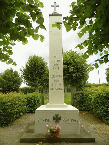 920 m
War Memorials
Kriegerdenkmal
No picture
950 m
Wayside Shrines and Stations of the Cross
Wegekreuz
No picture
1.0 km
Field Names