Field Names · Undated
Am Zollstock


© GeoBasis-DE / LVermGeoRP, dl-de/by-2-0
There is no picture of this object yet. Do you have a photo that you would like to make available to the Kulturdatenbank? Submit a picture
Description
This description is only available in German.
Translate with Google opens this page in Google Translate (external service)
Zu althochdeutsch mittelhochdeutsch zol st.M. 'Zoll', einer Entlehnung aus dem mittellateinischen toloneum 'Zollhaus, Zoll'. Es handelt sich um Stellen an Fernstraßen und Flüssen, an denen Abgaben entrichtet werden mussten. Mit Zollstock wurden zunächst die mit Zollzeichen versehenen hölzernen Säulen neben den Schlagbäumen bezeichnet, später auch die Schlagbäume selbst, manchmal auch nur Wegweiser.
Classification
- Subject area
- History
- Category
- Field Names
- Date
- Undatiert
- Period
- Undated
Location
- District
- Bernkastel-Wittlich
- Collective municipality
- Bernkastel-Kues
- Municipality
- Veldenz
- Field name
- Am Zollstock
- Coordinates
- WGS 84: 49.873260, 7.035081 (Position: exact) WGS 84: 49° 52′ 23.7″ N, 7° 02′ 06.3″ E UTM 32 (ETRS89): E 358815 · N 5526391
Sources
Data sources
- Landesgeschichtliches Informationssystem Hessen (LAGIS) Internet: http://www.hlgl.de
On the internet
Last edited: 23 May 2014 Object ID: 34745
https://kulturdb.de/en/objekt/34745-veldenz-am-zollstock
Nearby
The nearest objects
Field Names
Der Rothenberg
Wayside Shrines and Stations of the Cross
Wegekreuz
Field Names
Rothenberg
 600 m
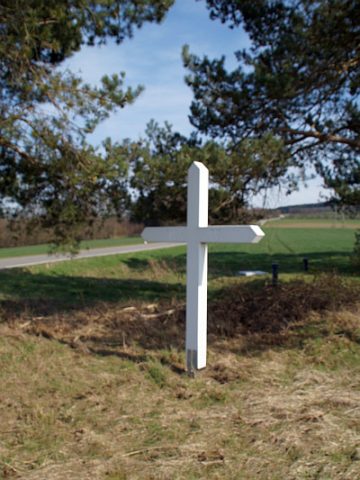
Wayside Shrines and Stations of the Cross
Wegekreuz
Field Names
Die Nachtweide
Forest Names
Friedwald
Fossils
Fundstellen tierischer Versteinerungen
 860 m
Lime Trees