Engineering Structures and Industrial Sites · 20th Century
Fabrikgebäude Flora-Brunnen
- Listed monument


Description
This description is only available in German.
Translate with Google opens this page in Google Translate (external service)
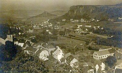
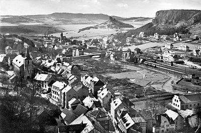
Ganz rechts ist das Gebäude des Gerolsteiner Flora-Brunnens zu erkennen (Treppengiebel). [1]
Classification
- Subject area
- Architectural and Art Monuments
- Date
- 1950er Jahre
- Period
- 20th Century
Location
- District
- Vulkaneifel
- Town
- Gerolstein
- Street
- Brunnenstraße 9
- Field name
- Ortslage
- Coordinates
- WGS 84: 50.223090, 6.664160 (Position: exact) WGS 84: 50° 13′ 23.1″ N, 6° 39′ 51.0″ E UTM 32 (ETRS89): E 333381 · N 5566046
Sources
Data sources
- [1] Wilma Herzog, Gerolstein, 2014.
On the internet
Picture credits
Last edited: 18 Apr 2017 Object ID: 30544
https://kulturdb.de/en/objekt/30544-gerolstein-fabrikgebaeude-flora-brunnen
Nearby
The nearest objects
 80 m
Washing Places
Bleichwiese an der Kyll
 90 m
Engineering Structures and Industrial Sites
Ehemaliger Gerolsteiner Brunnen
 110 m
Town Houses and Commercial Buildings
Hause Kanapin - Türsturz
 110 m
Wayside Shrine Houses
Heiligenhäuschen am Hause Kanapin
 110 m
Street Names
Hauptstraße
 120 m
Road Transport
Sogenanntes Dreestreppchen
 150 m
Catholic Churches
Sankt-Anna-Kirche (1)
 150 m
Catholic Churches