Mills · Undated
Wassermühle mit Basaltmühlstein


© GeoBasis-DE / LVermGeoRP, dl-de/by-2-0
There is no picture of this object yet. Do you have a photo that you would like to make available to the Kulturdatenbank? Submit a picture
Classification
- Subject area
- Architectural and Art Monuments
- Object type
- Mills
- Date
- Undatiert
- Period
- Undated
Location
- District
- Vulkaneifel
- Collective municipality
- Gerolstein
- Municipality
- Kerpen (Eifel)
- Locality / location
- Kerpen
- Street
- Im Kapelleneck 16
- Field name
- Ortslage
- Coordinates
- WGS 84: 50.311640, 6.731410 (Position: exact) WGS 84: 50° 18′ 41.9″ N, 6° 43′ 53.1″ E UTM 32 (ETRS89): E 338478 · N 5575742
Sources
Data sources
- Marie-Cathérine Fromm: Vom Spukhaus zur Burg. Tierischer Volksfreund vom 14.15. September 2013.
On the internet
Last edited: 14 Sep 2013 Object ID: 30549
https://kulturdb.de/en/objekt/30549-kerpen-eifel-wassermuehle-mit-basaltmuehlstein
Nearby
The nearest objects
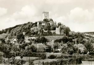 30 m
Catholic Churches
Sankt Sebastian
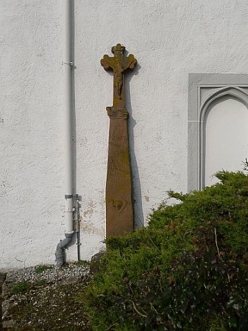 30 m
Wayside Shrines and Stations of the Cross
Wegekreuz an der Kirche Sankt Sebastian
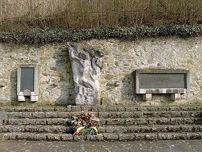 40 m
War Memorials
Kriegerdenkmal
No picture
40 m
Farmhouses and Farm Buildings
Nachbarocker Krüppelwalmdachbau
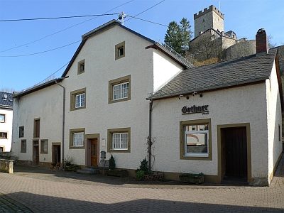 50 m
Farmhouses and Farm Buildings
Wohnhaus
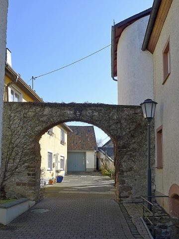 70 m
Castles
Ehemaliger Burgmannensitz
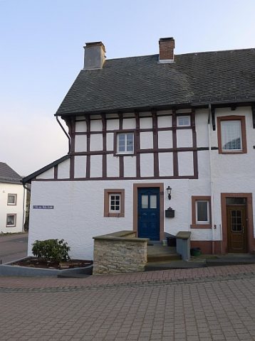 90 m
Courthouses
Ehemaliges Gerichtshaus Fritz-von-Wille-Straße 13
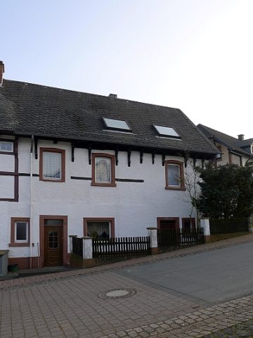 90 m
Courthouses