Place Names / Local History · Early Middle Ages / Romanesque
Ortsgeschichte Borler


© GeoBasis-DE / LVermGeoRP, dl-de/by-2-0
There is no picture of this object yet. Do you have a photo that you would like to make available to the Kulturdatenbank? Submit a picture
Description
This description is only available in German.
Translate with Google opens this page in Google Translate (external service)
Am 6. Mai 1140 Budelar.
Anfang des 13. Jahrhunderts Burlat.
Wilhelm von Heyer wird am 28. April 1359 Burgmann des Erzbischofs Boemund von Trier zu Daun. [1]
Classification
- Subject area
- History
- Category
- Place Names / Local History
- Date
- 06.05.1140
Location
- District
- Vulkaneifel
- Collective municipality
- Kelberg
- Municipality
- Borler
- Field name
- Ortslage
- Coordinates
- WGS 84: 50.312866, 6.828080 (Position: within the village) WGS 84: 50° 18′ 46.3″ N, 6° 49′ 41.1″ E UTM 32 (ETRS89): E 345364 · N 5575673
Sources
Data sources
- [1] Erich Mertes-Kolverath: Die Dörfer der Verbandsgemeinde Kelberg, Ihre erste Erwähnung und Nennung in der Literatur. Landeskundliche Vierteljahresblätter. Jahrgang 32, 1986, Heft 3, (Auszug)
On the internet
Last edited: 3 May 2001 Object ID: 3105
https://kulturdb.de/en/objekt/3105-borler-ortsgeschichte-borler
Nearby
The nearest objects
 less than 10 m
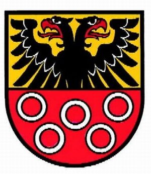
Coats of Arms
Wappen der Gemeinde Borler
 10 m
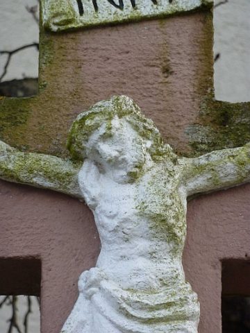
Wayside Shrines and Stations of the Cross
Schaftkreuz vor der Kirche
 20 m
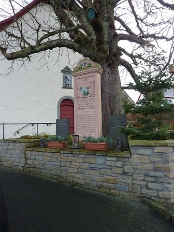
War Memorials
Kriegerdenkmal vor Sankt Leonhard
 20 m
Commemorative Plantings
Kaiserlinde mit Gedenkstein
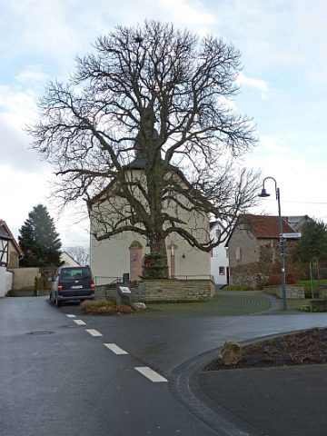 20 m
Chestnut Trees
Kastanie vor der Kirche
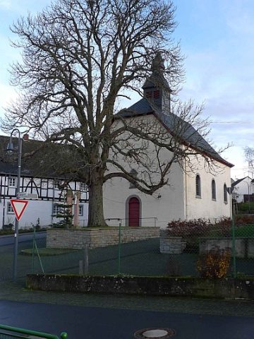 30 m
Catholic Churches
Sankt Leonhard
Farmhouses and Farm Buildings
Fachwerkhaus
Farmhouses and Farm Buildings