Place Names / Local History · Gothic
Ortsgeschichte Hünerbach


© GeoBasis-DE / LVermGeoRP, dl-de/by-2-0
There is no picture of this object yet. Do you have a photo that you would like to make available to the Kulturdatenbank? Submit a picture
Description
This description is only available in German.
Translate with Google opens this page in Google Translate (external service)
Zweite Hälfte des 14. Jahrhunderts Hunrbach. [1]
Classification
- Subject area
- History
- Category
- Place Names / Local History
- Date
- 2. Hälfte des 14. Jahrhunderts
- Period
- Gothic
Location
- District
- Vulkaneifel
- Municipality
- Kelberg
- Locality / location
- Hünerbach
- Field name
- Ortslage
- Coordinates
- WGS 84: 50.291067, 6.944526 (Position: within the village) WGS 84: 50° 17′ 27.8″ N, 6° 56′ 40.3″ E UTM 32 (ETRS89): E 353587 · N 5573014
Sources
Data sources
- [1] Erich Mertes-Kolverath: Die Dörfer der Verbandsgemeinde Kelberg, Ihre erste Erwähnung und Nennung in der Literatur. Landeskundliche Vierteljahresblätter. Jahrgang 32, 1986, Heft 3, (Auszug)
On the internet
Last edited: 3 May 2001 Object ID: 3118
https://kulturdb.de/en/objekt/3118-kelberg-ortsgeschichte-huenerbach
Nearby
The nearest objects
 50 m
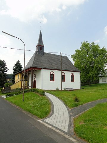
Catholic Churches
Maria Magdalena
 90 m
Road Transport
Weinstraße (7)
Field Names
In der Kirchenwies
Chapels
Ehemalige Maria-Magdalena-Kapelle
Extraction and Processing of Raw Materials
Ehemalige Schwerspatgrube
Field Names
Auf dem Ruppenpesch
 290 m
Commemorative Plantings
Kaiserlinde mit Gedenkstein
Field Names