Field Names · Undated
Beim Meisborn


© GeoBasis-DE / LVermGeoRP, dl-de/by-2-0
There is no picture of this object yet. Do you have a photo that you would like to make available to the Kulturdatenbank? Submit a picture
Description
This description is only available in German.
Translate with Google opens this page in Google Translate (external service)
[...] blickt man aber in die Waldbeschreibungen, so findet man, daß gewisse Holzschläge früher Mais oder Meis genannt wurden. Somit ist ein Meisborn ein Brunnen im Holzschlag. [1]
Classification
- Subject area
- History
- Category
- Field Names
- Date
- Undatiert
- Period
- Undated
Location
- District
- Bernkastel-Wittlich
- Collective municipality
- Wittlich-Land
- Municipality
- Klausen
- Locality / location
- Krames-Klausen
- Field name
- Beim Meisborn
- Coordinates
- WGS 84: 49.899887, 6.887972 (Position: exact) WGS 84: 49° 53′ 59.6″ N, 6° 53′ 16.7″ E UTM 32 (ETRS89): E 348329 · N 5529639
Sources
Data sources
- [1] A. Heidrich: Über Flurnamen der Nahegegend. Blätter für Mosel, Hochwald und Hunsrück. 2. Jahrgang 1911/12, No. 7, S. 54. http://www.dilibri.de/
On the internet
Last edited: 19 Jan 2014 Object ID: 31404
https://kulturdb.de/en/objekt/31404-klausen-beim-meisborn
Nearby
The nearest objects
Vineyard Sites
Aufm Kreutzweinberg
Field Names
In Sehlemspesch
Field Names
Bei der Maarbach
Field Names
In den Maarfeldern
 500 m
Field Names
Auf der Schlehenheck
Field Names
In der Maarwies
Monastic Complexes
Dominikanerinnenkloster Mater Dolorosa
 690 m
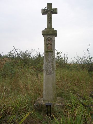
Wayside Shrines and Stations of the Cross