Mineral Springs · 20th Century
Sauerbrunnen
- Listed monument


Description
This description is only available in German.
Translate with Google opens this page in Google Translate (external service)
Classification
- Subject area
- Natural Features
- Category
- Springs
- Object type
- Mineral Springs
- Date
- 25.09.1939 [Unterschutzstellung]
- Period
- 20th Century
Location
- District
- Vulkaneifel
- Collective municipality
- Daun
- Municipality
- Niederstadtfeld
- Field name
- Dreeswies
- Coordinates
- WGS 84: 50.156830, 6.761274 (Position: exact) WGS 84: 50° 09′ 24.6″ N, 6° 45′ 40.6″ E UTM 32 (ETRS89): E 340087 · N 5558467
Sources
Data sources
- [1] LANIS - Landschaftsinformationssysten der Naturschutzverwaltung Rheinland-Pfalz, 2015. http://www.naturschutz.rlp.de/?q=naturdenkmal
- [2] Rita Gehendges: Naturdenkmale des Landkreises Daun. 1985. Hrsg.: Landkreis Daun.
On the internet
Picture credits
Last edited: 29 May 2015 Object ID: 3201
https://kulturdb.de/en/objekt/3201-niederstadtfeld-sauerbrunnen
Nearby
The nearest objects
No picture
90 m
Mills
Ehemalige Schleif-Mühle im Tal der Kleinen Kyll
 280 m
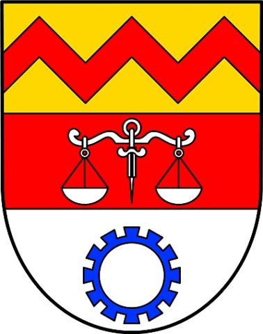
Coats of Arms
Wappen der Gemeinde Niederstadtfeld
 280 m
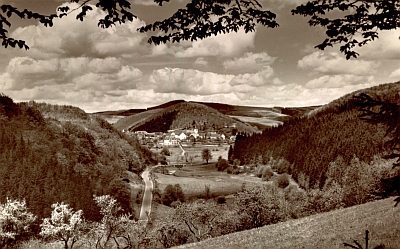
Place Names / Local History
Ortsname / Ortsgeschichte
 290 m
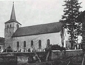
Catholic Churches
Sankt Sebastiani M. (1)
 290 m
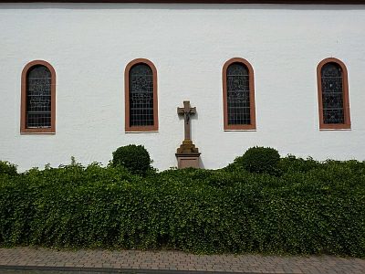
Wayside Shrines and Stations of the Cross
Kirchhofskreuz an der Pfarrkirche
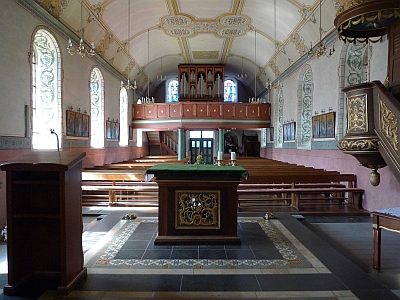 290 m
Organs
Sankt Sebastiani M. - Orgel
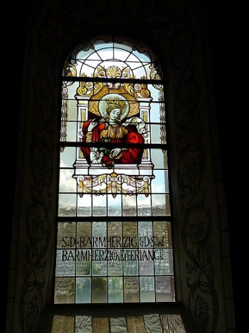 290 m
Catholic Churches
Sankt Sebastiani M. (2)
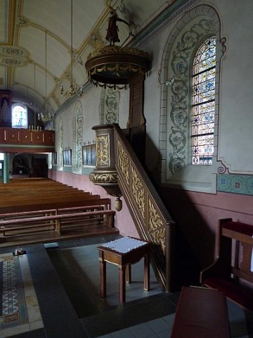 290 m
Catholic Churches