Place Names / Local History · Celtic / Roman Period
Ortsname / Ortsgeschichte


© GeoBasis-DE / LVermGeoRP, dl-de/by-2-0
There is no picture of this object yet. Do you have a photo that you would like to make available to the Kulturdatenbank? Submit a picture
Description
This description is only available in German.
Translate with Google opens this page in Google Translate (external service)
Die ältesten Siedlungsspuren sind Reste einer römischen Villa sowie Münzfunde und andere Gegenstände, die 1842 zwischen Winringen und Dingdorf gefunden wurden. Die Ortsnamensendung -ingen verweist auf eine Entstehung des heutigen Ortes in der Zeit der fränkischen Landnahme. Die erste urkundliche Erwähnung als Windringen stammt aus dem Jahr 1743. In der Feudalzeit gehörte der Ort zur Meierei Dingdorf der Abtei Prüm.
Classification
- Subject area
- History
- Category
- Place Names / Local History
- Date
- Circa 500 vor Chr. bis circa 500 nach Chr.
- Period
- Celtic / Roman Period
Location
- District
- Eifelkreis Bitburg-Prüm
- Collective municipality
- Prüm
- Municipality
- Winringen
- Field name
- Ortslage
- Coordinates
- WGS 84: 50.154839, 6.416765 (Position: within the village) WGS 84: 50° 09′ 17.4″ N, 6° 25′ 00.4″ E UTM 32 (ETRS89): E 315474 · N 5559041
Sources
Data sources
- © Marzellus Boos http://www.eifeltour.de/
On the internet
Last edited: 12 Jun 2001 Object ID: 3215
https://kulturdb.de/en/objekt/3215-winringen-ortsname-ortsgeschichte
Nearby
The nearest objects
Wayside Shrines and Stations of the Cross
Wegekreuz
Wayside Shrines and Stations of the Cross
Wegekreuz
Extraction and Processing of Raw Materials
Ehemaliger Steinbruch am Handich
Wayside Shrines and Stations of the Cross
Nischenkreuz
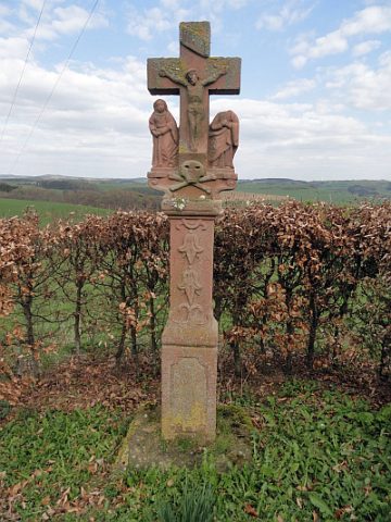 510 m
Wayside Shrines and Stations of the Cross
Glockenblumenkreuz
Temples, Sanctuaries
Gallo-römisches Heiligtum
Field Names
Auf der Küsterei
Cremation Graves