Wayside Shrines and Stations of the Cross · Renaissance
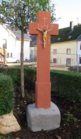
Wegekreuz


Description
This description is only available in German.
Translate with Google opens this page in Google Translate (external service)
Classification
- Subject area
- Architectural and Art Monuments
- Category
- Religious Buildings
- Object type
- Wayside Shrines and Stations of the Cross
- Date
- 17. Jahrhundert [?]
- Period
- Renaissance
Location
- District
- Trier-Saarburg
- Collective municipality
- Schweich an der römischen Weinstraße
- Municipality
- Mehring
- Field name
- Zwischen dem Enscher und Wasserpfädchen
- Coordinates
- WGS 84: 49.801659, 6.825090 (Position: exact) WGS 84: 49° 48′ 06.0″ N, 6° 49′ 30.3″ E UTM 32 (ETRS89): E 343496 · N 5518848
Sources
Data sources
- [1] Liste der Kulturdenkmäler in Mehring (Mosel) (https://de.wikipedia.org/wiki/Liste_der_Kulturdenkm%C3%A4ler_in_Meh…) - abgerufen am 11.11.2020.
- [2] Michael Grün, Trier, 2020.
On the internet
Picture credits
Last edited: 5 Feb 2021 Object ID: 32395
https://kulturdb.de/en/objekt/32395-mehring-wegekreuz
Nearby
The nearest objects
No picture
160 m
Field Names
Trift
No picture
330 m
Settlements
Römische Siedlungsstelle
 330 m
Water Supply
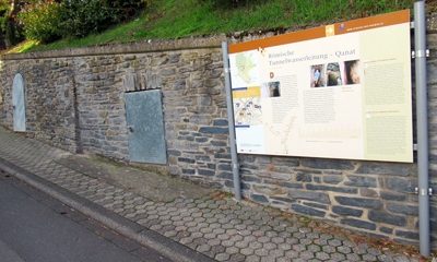
Römische Tunnelwasserleitung (Qanat)
 330 m
Chapels
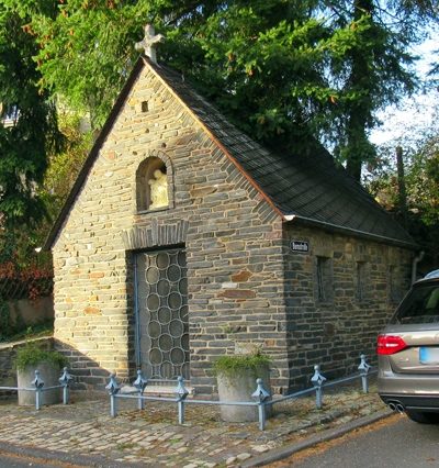
Kapelle
 380 m
Place Names / Local History
Erste Erwähnung von Mehring
 380 m
Settlements
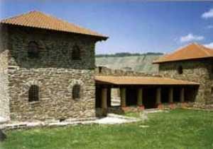
Römische Siedlung
 380 m
Markers and Monuments
Meilenstein
 390 m
Wayside Shrines and Stations of the Cross