Market Towns · 20th Century
Marktort Cordel


Description
This description is only available in German.
Translate with Google opens this page in Google Translate (external service)
19. Oktober: Krammarkt, Viehmarkt. [1]
Classification
- Subject area
- History
- Category
- Economy, Trade and Transport
- Object type
- Market Towns
- Date
- 1926
- Period
- 20th Century
Location
- District
- Trier-Saarburg
- Collective municipality
- Trier-Land
- Municipality
- Kordel
- Street
- Am Borberg
- Field name
- Ober der Kyllbrücke
- Coordinates
- WGS 84: 49.838773, 6.635110 (Position: presumed) WGS 84: 49° 50′ 19.6″ N, 6° 38′ 06.4″ E UTM 32 (ETRS89): E 329957 · N 5523388
Sources
Data sources
- [1] Eifelkalender von 1926, Hrsg. Eifelverein. http://www.dilibri.de/ubtr/periodical/titleinfo/199065?query=Eifelk…
On the internet
Picture credits
Last edited: 26 Oct 2017 Object ID: 32456
https://kulturdb.de/en/objekt/32456-kordel-marktort-cordel
Nearby
The nearest objects
 10 m
Field Names
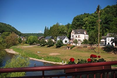
Ober der Kyllbrücke
 20 m
Field Names
Ober der Kyllbrücke
 30 m
Wayside Shrines and Stations of the Cross
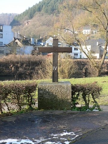
Kreuz am Borberg
 40 m
Road Transport
Erste Kordeler Brücke über die Kyll
 40 m
Viewpoints
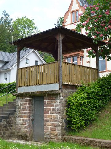
Aussichtspunkt am Borberg
 40 m
Surveying
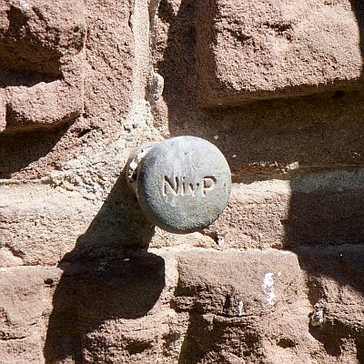
Nivellementfestpunkt am alten Forsthaus
 50 m
Forester's Lodges
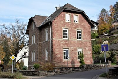
Ehemaliges Forsthaus
 60 m
Flood Marks