Forester's Lodges · 20th Century
Ehemaliges Forsthaus


Classification
- Subject area
- Architectural and Art Monuments
- Category
- Administrative Buildings
- Object type
- Forester's Lodges
- Date
- 1941
- Period
- 20th Century
Location
- District
- Trier-Saarburg
- Collective municipality
- Trier-Land
- Municipality
- Kordel
- Street
- Am Borberg 6
- Field name
- Im Borberg
- Coordinates
- WGS 84: 49.839104, 6.635561 (Position: exact) WGS 84: 49° 50′ 20.8″ N, 6° 38′ 08.0″ E UTM 32 (ETRS89): E 329991 · N 5523423
Sources
Data sources
- [2] Topographische Karte 1: 25.000 von 1941.
On the internet
Picture credits
Last edited: 6 Nov 2018 Object ID: 48013
https://kulturdb.de/en/objekt/48013-kordel-ehemaliges-forsthaus
Nearby
The nearest objects
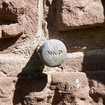 less than 10 m
Surveying
Nivellementfestpunkt am alten Forsthaus
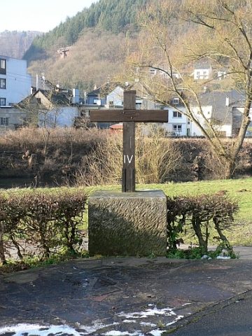 20 m
Wayside Shrines and Stations of the Cross
Kreuz am Borberg
 30 m
Field Names
Ober der Kyllbrücke
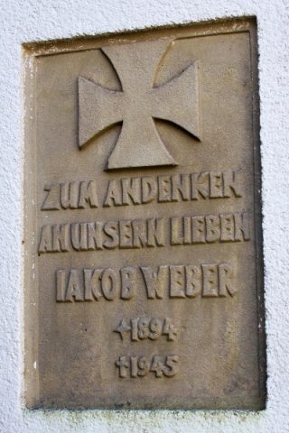 40 m
Monuments
Gedenktafel
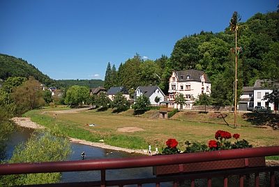 40 m
Field Names
Ober der Kyllbrücke
 50 m
Market Towns
Marktort Cordel
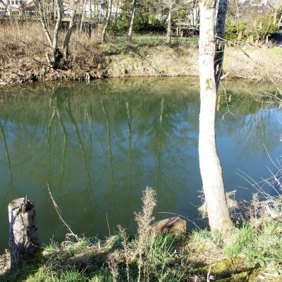 80 m
Ferries
Ehemalige Kyllfähre
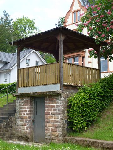 80 m
Viewpoints