Monuments · 20th Century
Gedenktafel
- Listed monument


Description
This description is only available in German.
Translate with Google opens this page in Google Translate (external service)
Classification
- Subject area
- History
- Category
- Markers and Monuments
- Object type
- Monuments
- Date
- Nach 1945
- Period
- 20th Century
Location
- District
- Trier-Saarburg
- Collective municipality
- Trier-Land
- Municipality
- Kordel
- Street
- Am Borberg 8
- Field name
- Über der Kyll
- Coordinates
- WGS 84: 49.839451, 6.635701 (Position: exact) WGS 84: 49° 50′ 22.0″ N, 6° 38′ 08.5″ E UTM 32 (ETRS89): E 330002 · N 5523462
Sources
Data sources
- [1] Peter Valerius, Kordel, 2019.
- [2] Schaffner, Richard: Familienbuch der Pfarrei Sankt Amandus und Vedastus Kordel im unteren Kylltal mit Kimmlingen, Hochmark, Burg Ramstein und Winterbach.
On the internet
Picture credits
Last edited: 22 Feb 2023 Object ID: 48149
https://kulturdb.de/en/objekt/48149-kordel-gedenktafel
Nearby
The nearest objects
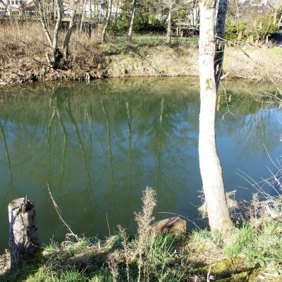 40 m
Ferries
Ehemalige Kyllfähre
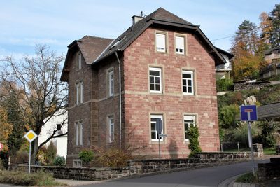 40 m
Forester's Lodges
Ehemaliges Forsthaus
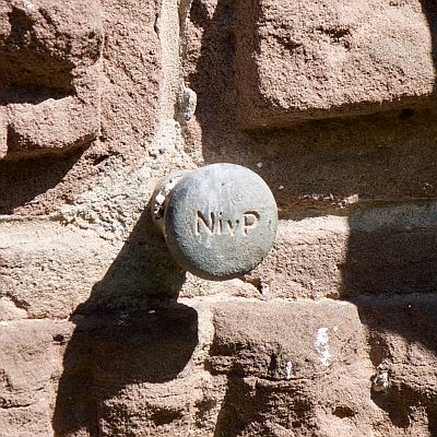 50 m
Surveying
Nivellementfestpunkt am alten Forsthaus
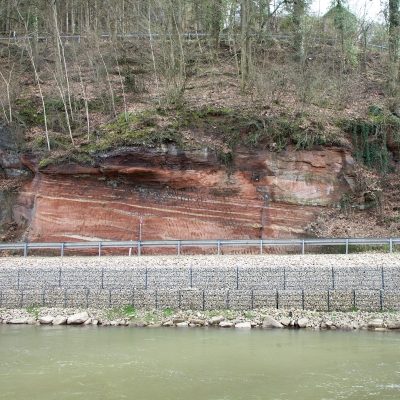 60 m
Geological Features
Mittlerer Buntsandstein
 60 m
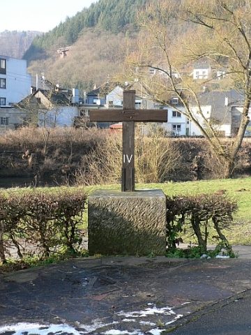
Wayside Shrines and Stations of the Cross
Kreuz am Borberg
 70 m
Field Names
Ober der Kyllbrücke
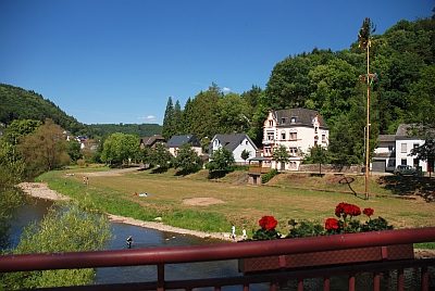 80 m
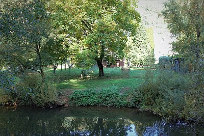
Field Names
Ober der Kyllbrücke
 80 m
Washing Places