Ferries · Neoclassicism
Ehemalige Fähre für Fuhrwerke


© GeoBasis-DE / LVermGeoRP, dl-de/by-2-0
There is no picture of this object yet. Do you have a photo that you would like to make available to the Kulturdatenbank? Submit a picture
Description
This description is only available in German.
Translate with Google opens this page in Google Translate (external service)
Bei Reinig führt eine Fähre nach dem linken Ufer, zu dem Dorfe Igel. [1]
Classification
- Subject area
- Architectural and Art Monuments
- Category
- Economy, Trade and Transport
- Object type
- Ferries
- Date
- 1841
- Period
- Neoclassicism
Location
- District
- Trier-Saarburg
- Collective municipality
- Konz
- Municipality
- Wasserliesch
- Locality / location
- Reinig
- Street
- Reiniger Straße
- Field name
- [Mosel]
- Coordinates
- WGS 84: 49.706480, 6.548140 (Position: exact) WGS 84: 49° 42′ 23.3″ N, 6° 32′ 53.3″ E UTM 32 (ETRS89): E 323224 · N 5508882
Sources
Data sources
- [1] Georg Bärsch: Der Moselstrom von Metz bis Coblentz. Trier, 1841.
- [2] Topographische Karte 1:25000 von 1895 https://geo4.service24.rlp.de/client/lf/lawa/
On the internet
Last edited: 25 May 2020 Object ID: 32494
https://kulturdb.de/en/objekt/32494-wasserliesch-ehemalige-faehre-fuer-fuhrwerke
Nearby
The nearest objects
Fords
Ehemalige Moselfurt
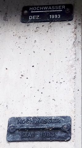 70 m
Flood Marks
Hochwassermarken an Unterführung B 419
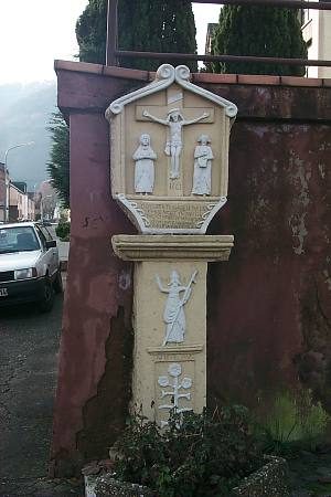 80 m
Wayside Shrines and Stations of the Cross
Schifferkreuz
Fortresses and Bunkers
Westwall - Artillerie Beobachter-Stand
Fortresses and Bunkers
Westwall - Maschinengewehr-Schartenstand
Washing Places
Ehemaliges Waschhaus
Jewish History
Jüdische Geschichte Reinig
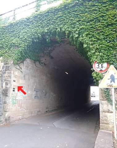 160 m
Flood Marks