Place Names / Local History · Gothic
Ortsgeschichte Schönbach


© GeoBasis-DE / LVermGeoRP, dl-de/by-2-0
There is no picture of this object yet. Do you have a photo that you would like to make available to the Kulturdatenbank? Submit a picture
Description
This description is only available in German.
Translate with Google opens this page in Google Translate (external service)
Seit 1357 bis zum Ende der Feudalzeit gehörte Schönbach zum Kurtrierischen Amt Daun; unter preußischer Verwaltung gehörte das Dorf zur Bürgermeisterei Sarmersbach.
Classification
- Subject area
- History
- Category
- Place Names / Local History
- Date
- 1357
- Period
- Gothic
Location
- District
- Vulkaneifel
- Collective municipality
- Daun
- Municipality
- Schönbach
- Field name
- Ortslage
- Coordinates
- WGS 84: 50.215622, 6.946523 (Position: within the village) WGS 84: 50° 12′ 56.2″ N, 6° 56′ 47.5″ E UTM 32 (ETRS89): E 353498 · N 5564623
Sources
Data sources
- © Marzellus Boos http://www.eifeltour.de/
On the internet
Last edited: 21 Jun 2001 Object ID: 3276
https://kulturdb.de/en/objekt/3276-schoenbach-ortsgeschichte-schoenbach
Nearby
The nearest objects
 less than 10 m
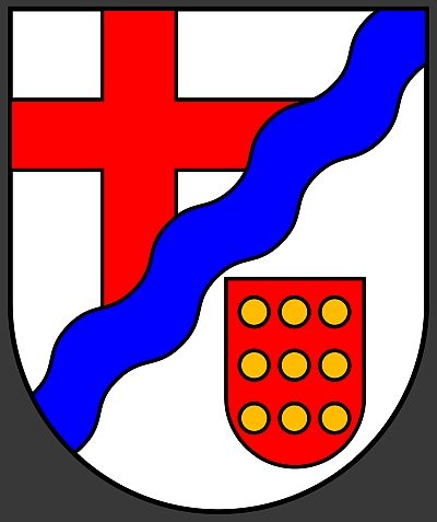
Coats of Arms
Wappen der Gemeinde Schönbach
 30 m
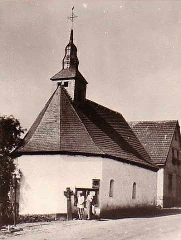
Chapels
Ehemalige Quirinus-Kapelle
 30 m
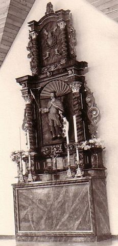
Altars
Ehemalige Quirinus-Kapelle - Altar
Chapels
Quirinus-Kapelle
 120 m
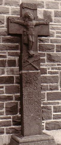
Wayside Shrines and Stations of the Cross
Kreuz an der Quirinus-Kapelle
Field Names
Im Hordelspesch
Farmhouses and Farm Buildings
Fachwerkhaus
Field Names