Farmhouses and Farm Buildings · Historicism / Art Nouveau
Hakenhof
Denkmalzone Hauptstraße 26 und 27
- Listed monument


© GeoBasis-DE / LVermGeoRP, dl-de/by-2-0
There is no picture of this object yet. Do you have a photo that you would like to make available to the Kulturdatenbank? Submit a picture
Description
This description is only available in German.
Translate with Google opens this page in Google Translate (external service)
Hakenhöfe an der Einmündung des Nimsweges in die Hauptstraße, wohl in der ersten Hälfte des 19. Jahrhunderts aus einer Hofteilung entstanden; Nr. 27 bezeichnet 1844, Nr. 26 bezeichnet 1878. [1]
Classification
- Subject area
- Architectural and Art Monuments
- Category
- Residential and Farm Buildings
- Object type
- Farmhouses and Farm Buildings
- Date
- 1878
Location
- District
- Eifelkreis Bitburg-Prüm
- Collective municipality
- Prüm
- Municipality
- Giesdorf
- Street
- Hauptstraße 27
- Field name
- Ortslage
- Coordinates
- WGS 84: 50.179430, 6.449750 (Position: exact) WGS 84: 50° 10′ 45.9″ N, 6° 26′ 59.1″ E UTM 32 (ETRS89): E 317923 · N 5561694
Sources
Data sources
- [1] Denkmalliste der Generaldirektion Kulturelles Erbe, Rheinland-Pfalz; 2010.
On the internet
Last edited: 29 Dec 2013 Object ID: 32779
https://kulturdb.de/en/objekt/32779-giesdorf-hakenhof
Nearby
The nearest objects
Farmhouses and Farm Buildings
Hakenhof
Place Names / Local History
Ortsname / Ortsgeschichte
 60 m
Wayside Shrines and Stations of the Cross
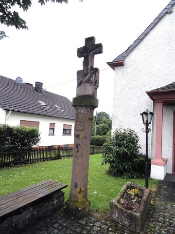
Kreuz vor Sankt Apollinaris
 80 m
Chapels
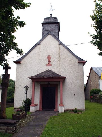
Sankt Apollinaris
 130 m
War Memorials
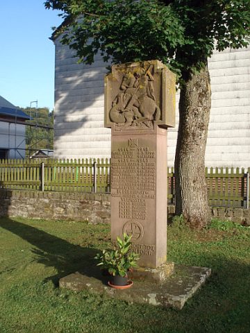
Kriegerdenkmal
Farmhouses and Farm Buildings
Quereinhaus
Wayside Shrines and Stations of the Cross
Wegekreuz
Field Names