Place Names / Local History · Undated
Ortsname / Ortsgeschichte


© GeoBasis-DE / LVermGeoRP, dl-de/by-2-0
There is no picture of this object yet. Do you have a photo that you would like to make available to the Kulturdatenbank? Submit a picture
Description
This description is only available in German.
Translate with Google opens this page in Google Translate (external service)
Die ältesten Bodenfunde stammen aus der Jungsteinzeit; römische Siedlungsspuren deuten darauf hin, daß das waldlose Tal bereits früh bewohnt war; das Dorf, das 1016 aus einem Haus und einer Mühle bestand, gehörte zum Marienstift in Prüm; der Namensteil -dorf deutet auf eine frühe Landnahme in fränkischer Zeit hin.
Classification
- Subject area
- History
- Category
- Place Names / Local History
- Date
- Undatiert
- Period
- Undated
Location
- District
- Eifelkreis Bitburg-Prüm
- Collective municipality
- Prüm
- Municipality
- Giesdorf
- Field name
- Ortslage
- Coordinates
- WGS 84: 50.179096, 6.450128 (Position: within the village) WGS 84: 50° 10′ 44.7″ N, 6° 27′ 00.5″ E UTM 32 (ETRS89): E 317949 · N 5561656
Sources
Data sources
- http://www.eifeltour.de/ Copyright © Marzellus Boos.
On the internet
Last edited: 21 Jul 2001 Object ID: 3328
https://kulturdb.de/en/objekt/3328-giesdorf-ortsname-ortsgeschichte
Nearby
The nearest objects
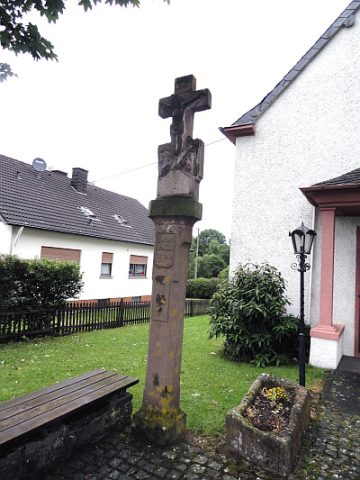 20 m
Wayside Shrines and Stations of the Cross
Kreuz vor Sankt Apollinaris
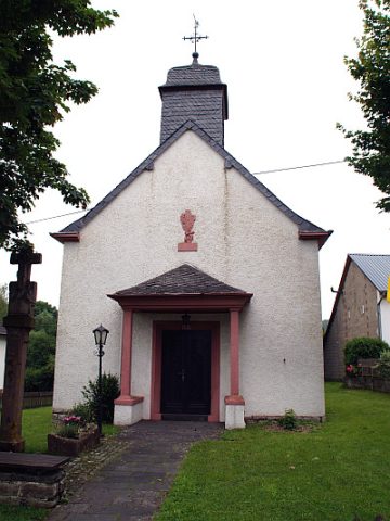 30 m
Chapels
Sankt Apollinaris
Farmhouses and Farm Buildings
Hakenhof
Farmhouses and Farm Buildings
Hakenhof
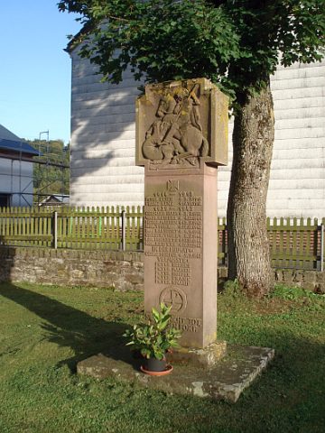 80 m
War Memorials
Kriegerdenkmal
Farmhouses and Farm Buildings
Quereinhaus
Field Names
Auf dem Bungert
Wayside Shrines and Stations of the Cross