Place Names / Local History · Early Middle Ages / Romanesque
Ortsname


Description
This description is only available in German.
Translate with Google opens this page in Google Translate (external service)
646 genannt Ornaua [1]
Classification
- Subject area
- History
- Category
- Place Names / Local History
- Date
- 646
Location
- District
- Eifelkreis Bitburg-Prüm
- Collective municipality
- Speicher
- Municipality
- Orenhofen
- Field name
- Ortslage
- Coordinates
- WGS 84: 49.896400, 6.652432 (Position: within the village) WGS 84: 49° 53′ 47.0″ N, 6° 39′ 08.8″ E UTM 32 (ETRS89): E 331403 · N 5529755
Sources
Data sources
- [1] Heimatkundlicher Arbeitskreis in der Verbandsgemeinde Speicher in "Et Bledchen" zwischen Kyll und Römermauer. Wochenzeitung.
On the internet
Picture credits
Last edited: 10 Nov 2010 Object ID: 3285
https://kulturdb.de/en/objekt/3285-orenhofen-ortsname
Nearby
The nearest objects
 less than 10 m
Coats of Arms
Wappen der Gemeinde Orenhofen
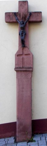 50 m
Wayside Shrines and Stations of the Cross
Nischenkreuz von 1609
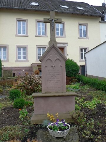 90 m
Wayside Shrines and Stations of the Cross
Kreuz am ehemaligen Pfeifenofen
No picture
100 m
Field Names
Im Ort
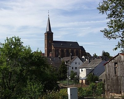 110 m
Catholic Churches
Sankt Rochus
110 m
Organs
Sankt Rochus - Orgel
No picture
110 m
Burial Mounds
Fränkischer Friedhof
No picture
130 m
Field Names