Wayside Shrines and Stations of the Cross · Undated
Wegekreuz


Classification
- Subject area
- Architectural and Art Monuments
- Category
- Religious Buildings
- Object type
- Wayside Shrines and Stations of the Cross
- Date
- Undatiert
- Period
- Undated
Location
- District
- Bernkastel-Wittlich
- Collective municipality
- Bernkastel-Kues
- Municipality
- Zeltingen-Rachtig
- Locality / location
- Rachtig
- Field name
- Auf Anweld
- Coordinates
- WGS 84: 49.970740, 6.974790 (Position: exact) WGS 84: 49° 58′ 14.7″ N, 6° 58′ 29.2″ E UTM 32 (ETRS89): E 354776 · N 5537343
Sources
Data sources
- [1] Michael Grün, Trier, 2018.
On the internet
Picture credits
Last edited: 28 Nov 2018 Object ID: 33056
https://kulturdb.de/en/objekt/33056-zeltingen-rachtig-wegekreuz
Nearby
The nearest objects
 110 m
Fountains and Wells
Anwalther-Brunnen
No picture
570 m
Find Sites
Eisenzeitliche Siedlungsstelle
No picture
860 m
Field Names
Unter dem Weierborn
No picture
890 m
Field Names
Ober dem Weierborn
No picture
1.1 km
Field Names
Auf dem Rothenberg
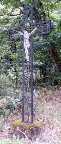 1.3 km
Wayside Shrines and Stations of the Cross
Wegekreuz
No picture
1.4 km
Field Names
Unter Zweibelsbornerbrück
No picture
1.4 km
Cremation Graves