Wayside Shrines and Stations of the Cross · Undated
Wegekreuz

Classification
- Subject area
- Architectural and Art Monuments
- Category
- Religious Buildings
- Object type
- Wayside Shrines and Stations of the Cross
- Date
- Undatiert
- Period
- Undated
Location
- District
- Bernkastel-Wittlich
- Collective municipality
- Bernkastel-Kues
- Municipality
- Zeltingen-Rachtig
- Locality / location
- Rachtig
- Field name
- Der Buftenwald
- Coordinates
- WGS 84: 49.958922, 6.971153 (Position: exact) WGS 84: 49° 57′ 32.1″ N, 6° 58′ 16.2″ E UTM 32 (ETRS89): E 354480 · N 5536036
Sources
Data sources
- [1] GeoPortal des Landes Rheinland-Pfalz. http://www.geoportal.rlp.de/
On the internet
Picture credits
- Picture 1: © Michael Grün, Trier, 2018.
Last edited: 27 Nov 2018 Object ID: 33423
https://kulturdb.de/en/objekt/33423-zeltingen-rachtig-wegekreuz
Nearby
The nearest objects
No picture
510 m
Field Names
Unter Trimborn
No picture
600 m
Field Names
Auf Bruchrech
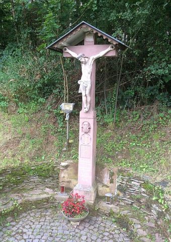 890 m
Wayside Shrines and Stations of the Cross
Buftenkreuz oder Der Große Herrgott
No picture
920 m
Find Sites
Römische Fundstelle
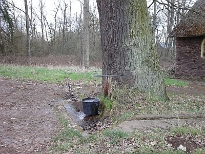 1.2 km
Fountains and Wells
Anwalther-Brunnen
No picture
1.3 km
Burial Mounds
Zwei Grabhügel
No picture
1.3 km
Find Sites
Eisenzeitliche Siedlungsstelle
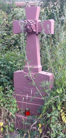 1.3 km
Wayside Shrines and Stations of the Cross