War Memorials · 20th Century
Friedhofskreuz


Classification
- Subject area
- Architectural and Art Monuments
- Category
- Markers and Monuments
- Object type
- War Memorials
- Date
- 1959
- Period
- 20th Century
Location
- District
- Trier-Saarburg
- Collective municipality
- Trier-Land
- Municipality
- Welschbillig
- Locality / location
- Hofweiler
- Street
- Itteler Straße
- Field name
- Jenseits Altenborn
- Coordinates
- WGS 84: 49.869000, 6.618250 (Position: exact) WGS 84: 49° 52′ 08.4″ N, 6° 37′ 05.7″ E UTM 32 (ETRS89): E 328852 · N 5526786
Sources
Data sources
- [1] Rudolf Müller: Hofweiler. Ein Eifeldorf und seine Geschichte. Hrsg. Vom Heimat- und Kulturverein Hofweiler e.V., 2009. ISBN 978-3-00-029721-2
On the internet
Picture credits
Last edited: 11 Jun 2015 Object ID: 33315
https://kulturdb.de/en/objekt/33315-welschbillig-friedhofskreuz
Nearby
The nearest objects
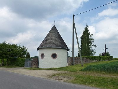 20 m
Chapels
Friedhofskapelle
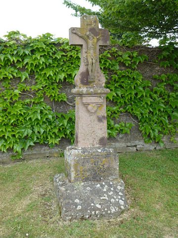 30 m
Wayside Shrines and Stations of the Cross
Schaftkreuz vor der Friedhofsmauer (1)
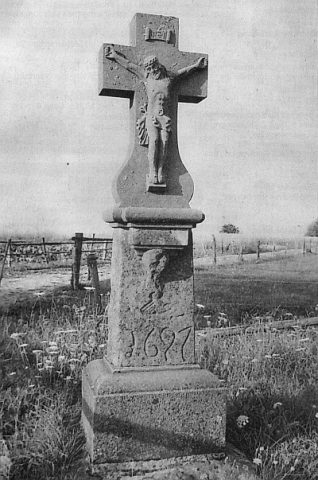 30 m
Wayside Shrines and Stations of the Cross
Schaftkreuz vor der Friedhofsmauer (2)
No picture
50 m
Field Names
Jenseits Altenborn
No picture
140 m
Field Names
Im Altenborn
No picture
230 m
Field Names
Auf dem Flürchen
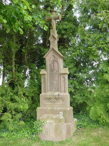 320 m
Wayside Shrines and Stations of the Cross
Pfeilerkreuz
No picture
420 m
Field Names