Place Names / Local History · Undated
Erste Erwähnung als Nuwilre


© GeoBasis-DE / LVermGeoRP, dl-de/by-2-0
There is no picture of this object yet. Do you have a photo that you would like to make available to the Kulturdatenbank? Submit a picture
Description
This description is only available in German.
Translate with Google opens this page in Google Translate (external service)
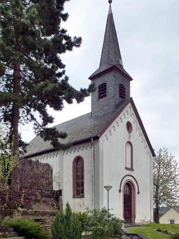
Der kleinste Ort der Verbandsgemeinde kommt schon in einer Urkunde um 1220 als Nuwilre (Neue Rodung) vor und besteht seit 1371 aus Groß- und Klein-Nuwilre. Die auf einem Felsen in Unternaurath stehende Kapelle aus dem 16. Jahrhundert steht unter Denkmalschutz und ist sehenswert.
Zu NaurathWald gehören die wenigen Häuser von Büdlicherbrück.
Classification
- Subject area
- History
- Category
- Place Names / Local History
- Date
- Undatiert
- Period
- Undated
Location
- District
- Trier-Saarburg
- Collective municipality
- Hermeskeil
- Municipality
- Naurath (Wald)
- Locality / location
- Naurath
- Field name
- Ortslage
- Coordinates
- WGS 84: 49.759228, 6.881573 (Position: within the village) WGS 84: 49° 45′ 33.2″ N, 6° 52′ 53.7″ E UTM 32 (ETRS89): E 347427 · N 5514015
Sources
Data sources
On the internet
Last edited: 17 Sep 2001 Object ID: 3350
https://kulturdb.de/en/objekt/3350-naurath-wald-erste-erwaehnung-als-nuwilre
Nearby
The nearest objects
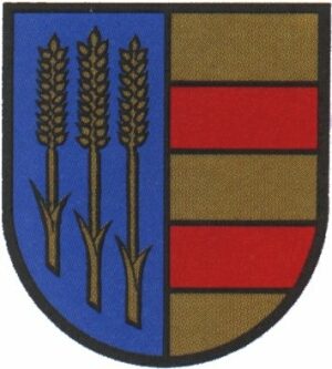 less than 10 m
Coats of Arms
Wappen der Gemeinde Naurath (Wald)
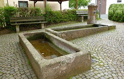 20 m
Fountains and Wells
Laufbrunnen
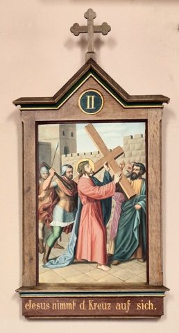 100 m
Catholic Churches
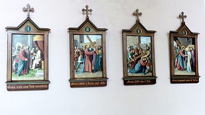
Kreuzwegstationen (1)
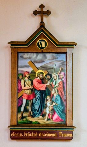 100 m
Catholic Churches
Kreuzwegstationen (2)
 100 m
Catholic Churches
Sankt Walburga und Sankt Quirin (1)
 100 m
Catholic Churches
Sankt Walburga und Sankt Quirin (2)
Schools
Ehemalige Schule
 410 m
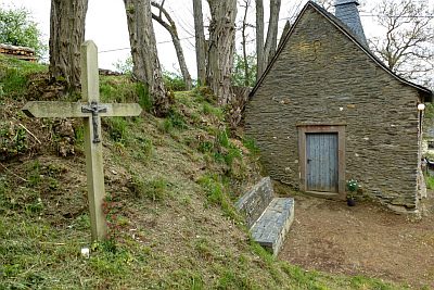
Wayside Shrines and Stations of the Cross