Fountains and Wells · Undated
Laufbrunnen

Classification
- Subject area
- Architectural and Art Monuments
- Category
- Fountains and Wells
- Date
- Undatiert
- Period
- Undated
Location
- District
- Trier-Saarburg
- Collective municipality
- Hermeskeil
- Municipality
- Naurath (Wald)
- Locality / location
- Naurath
- Street
- Hauptstraße
- Field name
- Ortslage
- Coordinates
- WGS 84: 49.759420, 6.881620 (Position: presumed) WGS 84: 49° 45′ 33.9″ N, 6° 52′ 53.8″ E UTM 32 (ETRS89): E 347431 · N 5514036
Sources
Data sources
- Norbert Kutscher, Waldweiler, 2015.
On the internet
Picture credits
- Picture 1: © Norbert Kutscher, Waldweiler, 2015.
Last edited: 15 Jul 2015 Object ID: 39378
https://kulturdb.de/en/objekt/39378-naurath-wald-laufbrunnen
Nearby
The nearest objects
No picture
20 m
Place Names / Local History
Erste Erwähnung als Nuwilre
 20 m
Coats of Arms
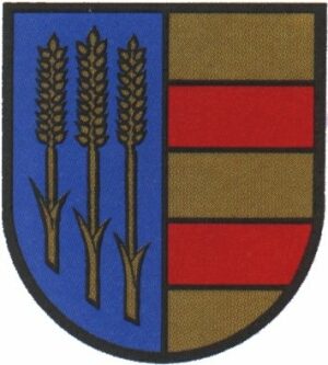
Wappen der Gemeinde Naurath (Wald)
 80 m
Catholic Churches
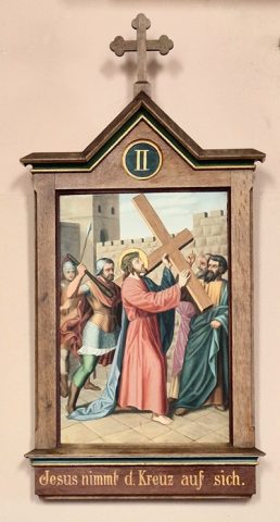
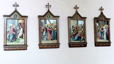
Kreuzwegstationen (1)
 80 m
Catholic Churches
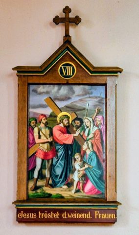
Kreuzwegstationen (2)
 80 m
Catholic Churches
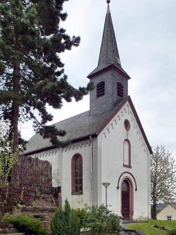
Sankt Walburga und Sankt Quirin (1)
 80 m
Catholic Churches
Sankt Walburga und Sankt Quirin (2)
No picture
120 m
Schools
Ehemalige Schule
 390 m
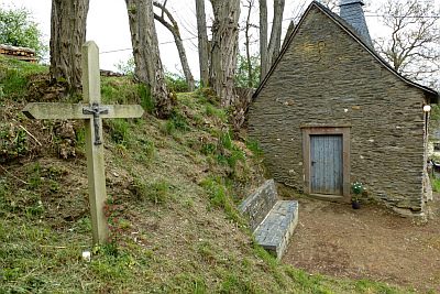
Wayside Shrines and Stations of the Cross