Castles · Renaissance
Ehemalige Nellenburg
- Listed monument


© GeoBasis-DE / LVermGeoRP, dl-de/by-2-0
There is no picture of this object yet. Do you have a photo that you would like to make available to the Kulturdatenbank? Submit a picture
Description
This description is only available in German.
Translate with Google opens this page in Google Translate (external service)
Die "Nellenburg". die alte Burg in Oberehe stand im Garten des späteren Schlosses. 1680 wurde sie zerstört. Mit ihr waren namentlich alte rheinische Adelsfamilien, wie zum Beispiel Gymnich, von Spieß und Pallant, verbunden.
Classification
- Subject area
- Architectural and Art Monuments
- Object type
- Castles
- Date
- 1680 [Zerstörung]
- Period
- Renaissance
Location
- District
- Vulkaneifel
- Collective municipality
- Gerolstein
- Municipality
- Oberehe-Stroheich
- Locality / location
- Oberehe
- Street
- Burgstraße 19
- Field name
- Unter der Burg
- Coordinates
- WGS 84: 50.278990, 6.771913 (Position: presumed) WGS 84: 50° 16′ 44.4″ N, 6° 46′ 18.9″ E UTM 32 (ETRS89): E 341253 · N 5572026
Sources
Data sources
- Heinrich Fleu (Köln): Zeitbilder der Kreisgeschichte, Eyfalia Tractus - Anno Domini MDCLXXX. In: http://www.jahrbuch-vulkaneifel.de/VT/hjb1997/hjb1997.123.htm
On the internet
Last edited: 13 Mar 2014 Object ID: 33569
https://kulturdb.de/en/objekt/33569-oberehe-stroheich-ehemalige-nellenburg
Nearby
The nearest objects
Chapels
Erste Pfarrkirche
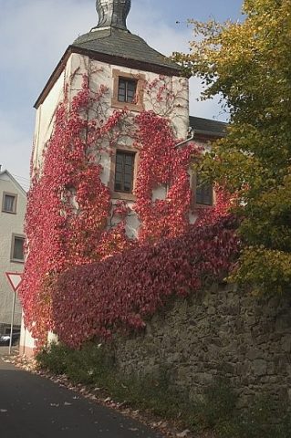 30 m
Castles
Burg Oberehe
Farmhouses and Farm Buildings
Fachwerkhaus
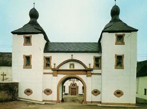 130 m
Place Names / Local History
Ortsgeschichte Oberehe-Stroheich
Farmhouses and Farm Buildings
Eifeler Kniestockhaus
Field Names
Quartenpesch
 250 m
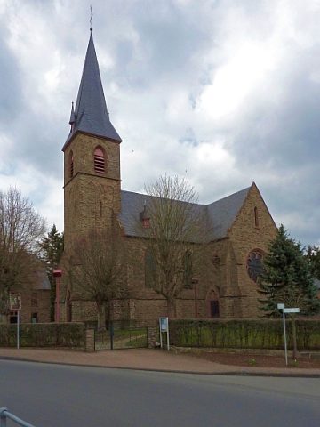
Catholic Churches
Sankt Jakobus der Ältere
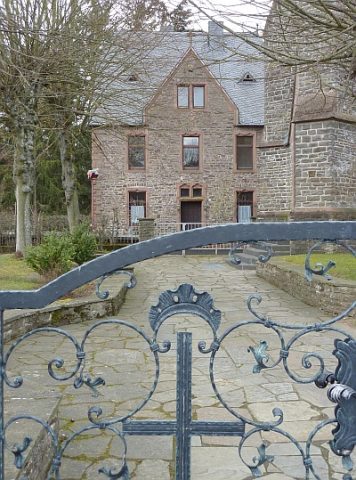 260 m
Rectories