Wayside Shrines and Stations of the Cross · Undated
Wegekreuz


Classification
- Subject area
- Architectural and Art Monuments
- Category
- Religious Buildings
- Object type
- Wayside Shrines and Stations of the Cross
- Date
- Undatiert
- Period
- Undated
Location
- District
- Vulkaneifel
- Collective municipality
- Gerolstein
- Municipality
- Hohenfels-Essingen
- Locality / location
- Hohenfels
- Field name
- Der Mühlenberg
- Coordinates
- WGS 84: 50.253402, 6.733495 (Position: exact) WGS 84: 50° 15′ 12.2″ N, 6° 44′ 00.6″ E UTM 32 (ETRS89): E 338429 · N 5569263
Sources
Data sources
- [1] Franz-Josef Dosio, Wierschem, 2021.
On the internet
Picture credits
Last edited: 8 Mar 2021 Object ID: 33571
https://kulturdb.de/en/objekt/33571-hohenfels-essingen-wegekreuz
Nearby
The nearest objects
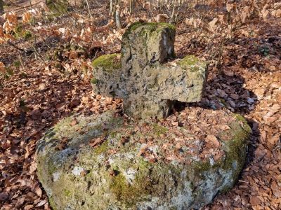 80 m
Wayside Shrines and Stations of the Cross
Wegekreuz
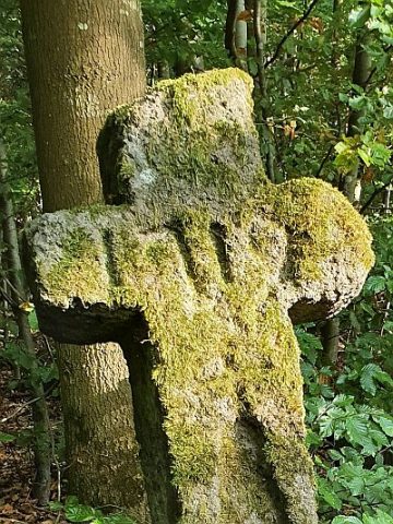 80 m
Wayside Shrines and Stations of the Cross
Wegekreuz am Mühlenberg
No picture
100 m
Wayside Shrines and Stations of the Cross
Wegekreuz
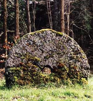 110 m
Caves
Mühlsteinhöhle
120 m
Caves
Mühlsteinhöhle Borussia-Grotte
No picture
130 m
Extraction and Processing of Raw Materials
Ehemaliger Mühlsteinbruch
140 m
Caves
Mühlsteinhöhle
No picture
150 m
Volcanoes