Wayside Shrines and Stations of the Cross · Undated
Sieben Fußfälle - 6. Station

Description
This description is only available in German.
Translate with Google opens this page in Google Translate (external service)
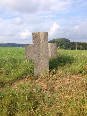
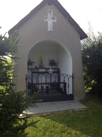
Beginnend am Genossenschaftskreuz entlang des Wirtschaftsweges in Richtung Dorf, stehen 7 Kreuze aus Basalt, die ältere teilweise verschwundene Kreuze, ersetzten. Bei schwerkranken Mitbürgern ging die Gemeinde zu den 7 Kreuzen für Ihre Gesundung oder eine gute Sterbestunde beten. Das letzte Kreuz steht in der Nähe des Marienkapellchens.
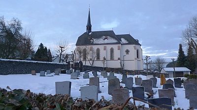
Das Foto zeigt die 4. Station. [1]
Classification
- Subject area
- Architectural and Art Monuments
- Category
- Religious Buildings
- Object type
- Wayside Shrines and Stations of the Cross
- Date
- Undatiert
- Period
- Undated
Location
- District
- Vulkaneifel
- Town
- Daun
- Locality / location
- Rengen
- Field name
- Rotapfelbaum
- Coordinates
- WGS 84: 50.224981, 6.840943 (Position: exact) WGS 84: 50° 13′ 29.9″ N, 6° 50′ 27.4″ E UTM 32 (ETRS89): E 345997 · N 5565876
Sources
Data sources
- [1] Friedbert Wißkirchen, Daun, 2014.
On the internet
Picture credits
- Picture 1: © Friedbert Wißkirchen, Daun, 2014.
Last edited: 13 Mar 2014 Object ID: 33599
https://kulturdb.de/en/objekt/33599-daun-sieben-fussfaelle-6-station
Nearby
The nearest objects
 60 m
Wayside Shrines and Stations of the Cross
Sieben Fußfälle - 7. Station
 70 m
Chapels
Marienkapellchen
100 m
Wayside Shrines and Stations of the Cross
Sieben Fußfälle - 5. Station
 110 m
Farmhouses and Farm Buildings
Backhaus
180 m
Wayside Shrines and Stations of the Cross
Sieben Fußfälle - 4. Station
Field Names
Auf der Held
 190 m
Mineral Springs
Rengener Drees
 210 m
Place Names / Local History