Place Names / Local History · Undated
Ortsname / Ortsgeschichte


© GeoBasis-DE / LVermGeoRP, dl-de/by-2-0
There is no picture of this object yet. Do you have a photo that you would like to make available to the Kulturdatenbank? Submit a picture
Description
This description is only available in German.
Translate with Google opens this page in Google Translate (external service)
Der Ort gehörte in der Feudalzeit zur Herrschaft Gerolstein. Das Kloster Prüm besaß ein Gut in Oberbettingen. Unter französischer Verwaltung kam der Ort zur Mairie Lissendorf und blieb unter Preußen beim Amt Lissendorf.
Classification
- Subject area
- History
- Category
- Place Names / Local History
- Date
- Undatiert
- Period
- Undated
Location
- District
- Vulkaneifel
- Collective municipality
- Gerolstein
- Municipality
- Oberbettingen
- Field name
- Ortslage
- Coordinates
- WGS 84: 50.286259, 6.626462 (Position: within the village) WGS 84: 50° 17′ 10.5″ N, 6° 37′ 35.3″ E UTM 32 (ETRS89): E 330916 · N 5573154
Sources
Data sources
- http://www.eifeltour.de/ Copyright © Marzellus Boos.
On the internet
Last edited: 19 Dec 2002 Object ID: 3363
https://kulturdb.de/en/objekt/3363-oberbettingen-ortsname-ortsgeschichte
Nearby
The nearest objects
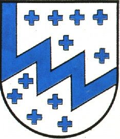 less than 10 m
Coats of Arms
Wappen der Gemeinde Oberbettingen
Chapels
Sankt Nikolaus
Organs
Sankt Nikolaus - Orgel
Historic Townscapes
Ortskern
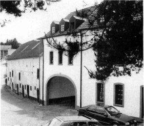 50 m
Mills
Klärsmühle
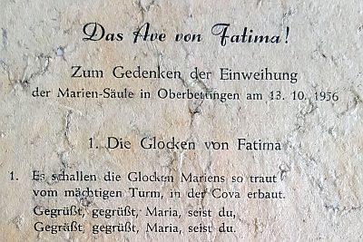 80 m
Wayside Shrines and Stations of the Cross
Mariensäule
Schools
Alte Schule
Field Names