Place Names / Local History · Undated
Erste Erwähnung von Sachsler


© GeoBasis-DE / LVermGeoRP, dl-de/by-2-0
There is no picture of this object yet. Do you have a photo that you would like to make available to the Kulturdatenbank? Submit a picture
Description
This description is only available in German.
Translate with Google opens this page in Google Translate (external service)
Geschichte: der Ort gehörte in der Feudalzeit zum Kurtrierischen Amt Daun. In der ersten urkundlichen Erwähnung aus dem Jahr 1286 ehielt Johann von Daun sein Schloß Sachsler mit Fischteichen und Mühle zum Lehen vom Erzbistum Köln. 1362 erwarb Erzbischof Werner von Trier Teile der Mühle, die 1479 ganz in den Besitz des Erzbistums überging. Unter preußischer Verwaltung gehörte Saxler zum Amt Gillenfeld
Classification
- Subject area
- History
- Category
- Place Names / Local History
- Date
- Undatiert
- Period
- Undated
Location
- District
- Vulkaneifel
- Collective municipality
- Daun
- Municipality
- Saxler
- Field name
- Ortslage
- Coordinates
- WGS 84: 50.139759, 6.896959 (Position: within the village) WGS 84: 50° 08′ 23.1″ N, 6° 53′ 49.1″ E UTM 32 (ETRS89): E 349725 · N 5556287
Sources
Data sources
- http://www.eifeltour.de/ Copyright © Marzellus Boos.
On the internet
Last edited: 21 Jul 2001 Object ID: 3374
https://kulturdb.de/en/objekt/3374-saxler-erste-erwaehnung-von-sachsler
Nearby
The nearest objects
 less than 10 m
Coats of Arms
Wappen der Gemeinde Saxler
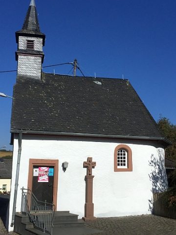 70 m
Wayside Shrines and Stations of the Cross
Sankt Wendelinus - Wegekreuz
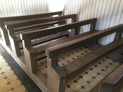 70 m
Catholic Churches
Sankt Wendelinus - Ausstattung
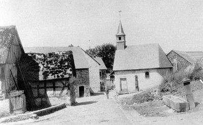 70 m
Catholic Churches
Sankt Wendelinus
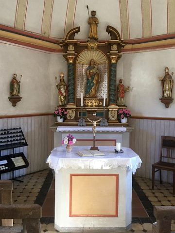 80 m
Altars
Sankt Wendelinus - Altar
Wayside Shrines and Stations of the Cross
Wegekreuz
Wayside Shrines and Stations of the Cross
Wegekreuz
Wayside Shrines and Stations of the Cross