Wayside Shrines and Stations of the Cross · Undated
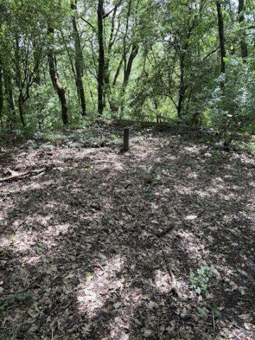
Wegekreuz

Classification
- Subject area
- Architectural and Art Monuments
- Category
- Religious Buildings
- Object type
- Wayside Shrines and Stations of the Cross
- Date
- Undatiert
- Period
- Undated
Location
- District
- City of Trier
- Collective municipality
- Verbandsfreie Gemeinde Trier
- Town
- Trier
- Locality / location
- Ruwer/Eitelsbach
- Field name
- Groß Behang
- Coordinates
- WGS 84: 49.787975, 6.725198 (Position: exact) WGS 84: 49° 47′ 16.7″ N, 6° 43′ 30.7″ E UTM 32 (ETRS89): E 336263 · N 5517540
Sources
Data sources
- [1] GeoPortal des Landes Rheinland-Pfalz. http://www.geoportal.rlp.de/
On the internet
Picture credits
- Picture 1: © Michael Grün, Trier, 2019.
Last edited: 20 Jan 2019 Object ID: 33898
https://kulturdb.de/en/objekt/33898-trier-wegekreuz
Nearby
The nearest objects
No picture
260 m
Field Names
Im hintersten Kestenberg
No picture
300 m
Field Names
Im Kestenberg
No picture
340 m
Vineyard Sites
Sonnenberg
No picture
410 m
Field Names
Kestenberg
No picture
410 m
Fortresses and Bunkers
Westwall - Maschinengewehr-Schartenstand
 470 m
Fortresses and Bunkers
Westwall - Bunker
No picture
510 m
Fortresses and Bunkers
Westwall - Bunker
No picture
560 m
Fortresses and Bunkers