Field Names · Undated
Auf dem Gosperter Flürchen


© GeoBasis-DE / LVermGeoRP, dl-de/by-2-0
There is no picture of this object yet. Do you have a photo that you would like to make available to the Kulturdatenbank? Submit a picture
Description
This description is only available in German.
Translate with Google opens this page in Google Translate (external service)
Der Flurnamen erinnert an den 1566 erstmals erwähnten Ort Gospert oder Geisperot. Nach den Pestjahren 1597, 1607 und von 1618 bis 1648 starb der Ort aus.[1]
Classification
- Subject area
- History
- Category
- Field Names
- Date
- Undatiert
- Period
- Undated
Location
- District
- Bernkastel-Wittlich
- Collective municipality
- Thalfang am Erbeskopf
- Municipality
- Talling
- Field name
- Auf Gosperter Drieschen
- Coordinates
- WGS 84: 49.758301, 6.958459 (Position: exact) WGS 84: 49° 45′ 29.9″ N, 6° 57′ 30.5″ E UTM 32 (ETRS89): E 352962 · N 5513758
Sources
Data sources
- [1] Trierischer Volksfreund http://www.volksfreund.de/nachrichten/region/hunsrueck/aktuell/Heut…
- verschwunden-aber-nicht-vergessen;art779,2421918
On the internet
Last edited: 20 Mar 2014 Object ID: 33923
https://kulturdb.de/en/objekt/33923-talling-auf-dem-gosperter-fluerchen
Nearby
The nearest objects
Field Names
Auf Gosperter Drieschen
Field Names
Beim Gosperter Born
Field Names
Auf Pfaffenrech
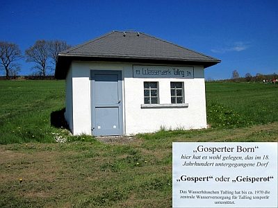 300 m
Deserted Settlements
Vermutete Wüstung Gospert
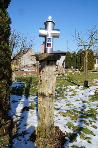 310 m
Wayside Shrines and Stations of the Cross
Wegekreuz
Extraction and Processing of Raw Materials
Ehemalige Lehmgrube
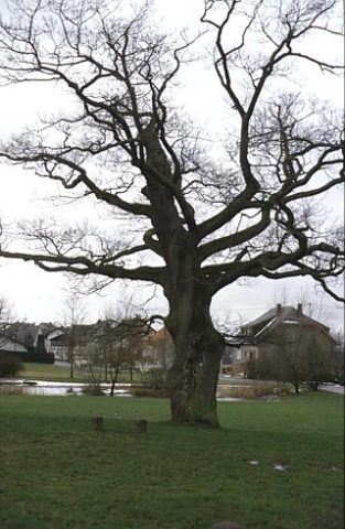 360 m
Oaks
Eiche
Field Names