Wayside Shrines and Stations of the Cross · Undated
Wegekreuz


Description
This description is only available in German.
Translate with Google opens this page in Google Translate (external service)
Am Ortseingang von Talling, auf der rechten Straßenseite, befindet sich dieses Wegekreuz. Der Kreuzaufsatz aus Metall ist auf einen Baumstamm gesetzt. [1]
Classification
- Subject area
- Architectural and Art Monuments
- Category
- Religious Buildings
- Object type
- Wayside Shrines and Stations of the Cross
- Date
- Undatiert
- Period
- Undated
Location
- District
- Bernkastel-Wittlich
- Collective municipality
- Thalfang am Erbeskopf
- Municipality
- Talling
- Street
- Hauptstraße / K 76
- Field name
- Ortslage
- Coordinates
- WGS 84: 49.760630, 6.956181 (Position: presumed) WGS 84: 49° 45′ 38.3″ N, 6° 57′ 22.3″ E UTM 32 (ETRS89): E 352805 · N 5514021
Sources
Data sources
- [1] Helmut Bauer, Trier, 2023.
On the internet
Picture credits
Last edited: 27 Feb 2023 Object ID: 52353
https://kulturdb.de/en/objekt/52353-talling-wegekreuz
Nearby
The nearest objects
 60 m
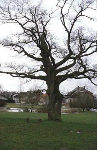
Oaks
Eiche
Extraction and Processing of Raw Materials
Ehemalige Lehmgrube
Place Names / Local History
Die Mark Thalfang
 230 m
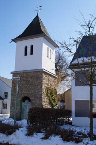
Bell Towers
Glockenturm
Field Names
Ober den Erzkaulen
Field Names
Auf dem Gosperter Flürchen
 320 m
Market Towns
Marktort Talling
Field Names