Extraction and Processing of Raw Materials · Historicism / Art Nouveau
Ehemaliger Steinbruch


© GeoBasis-DE / LVermGeoRP, dl-de/by-2-0
There is no picture of this object yet. Do you have a photo that you would like to make available to the Kulturdatenbank? Submit a picture
Description
This description is only available in German.
Translate with Google opens this page in Google Translate (external service)
Eine wieder mehr gewerbliche Ausrichtung brachte vielen Malbergern der Aufschwung der Sandsteinindustrie nach Eröffnung der Eifelbahn im Jahr 1871. In vier Brüchen auf der Malberger Gemarkung wurde das Material für Bau-, Werk- und Schleifsteine gewonnen und meist direkt verarbeitet. [1]
Classification
- Subject area
- Architectural and Art Monuments
- Category
- Economy, Trade and Transport
- Object type
- Extraction and Processing of Raw Materials
- Date
- 1886
Location
- District
- Eifelkreis Bitburg-Prüm
- Collective municipality
- Bitburger Land
- Municipality
- Malberg
- Field name
- Im Spetenbüsch
- Coordinates
- WGS 84: 50.046040, 6.560040 (Position: exact) WGS 84: 50° 02′ 45.7″ N, 6° 33′ 36.1″ E UTM 32 (ETRS89): E 325311 · N 5546602
Sources
Data sources
- [1] Denkmaltopographie Bundesrepublik Deutschland, Kulturdenkmäler in Rheinland-Pfalz, Kreis Bitburg-Prüm, 9.1 Wernersche Verlagsgesellschaft 1994. ISBN 3-88462-081-9
- [2] Topographische Karte von 1888.
On the internet
Last edited: 8 Mar 2015 Object ID: 34026
https://kulturdb.de/en/objekt/34026-malberg-ehemaliger-steinbruch
Nearby
The nearest objects
Wayside Shrines and Stations of the Cross
Spetenkreuz - alter Standort
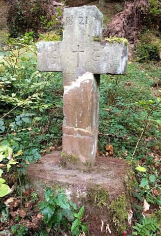 260 m
Wayside Shrines and Stations of the Cross
Gedenkkreuz an der Kyll
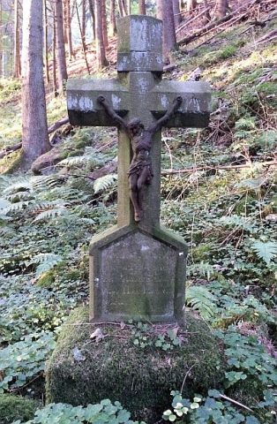 260 m
Wayside Shrines and Stations of the Cross
Wegekreuz
Fords
Ehemalige Furt durch die Kyll
 500 m
Chapels
Marienkapelle vor der Hardt
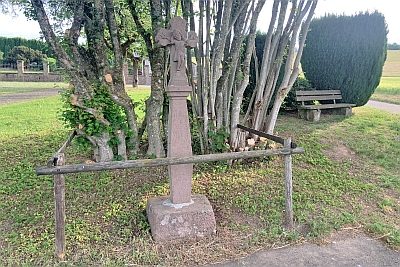 670 m
Wayside Shrines and Stations of the Cross
Barockes Schaftkreuz von 1759
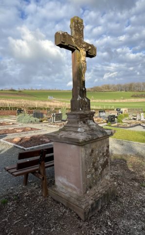 740 m
Wayside Shrines and Stations of the Cross
Friedhofskreuz
Field Names