Field Names · Renaissance
Trägerberg


© GeoBasis-DE / LVermGeoRP, dl-de/by-2-0
There is no picture of this object yet. Do you have a photo that you would like to make available to the Kulturdatenbank? Submit a picture
Description
This description is only available in German.
Translate with Google opens this page in Google Translate (external service)
1574 Treg, 1586 in Trege, 1720 in Triesch [1]
Classification
- Subject area
- History
- Category
- Field Names
- Date
- 1574
- Period
- Renaissance
Location
- District
- Trier-Saarburg
- Collective municipality
- Trier-Land
- Municipality
- Welschbillig
- Locality / location
- Träg
- Field name
- Trägerberg
- Coordinates
- WGS 84: 49.851008, 6.591881 (Position: exact) WGS 84: 49° 51′ 03.6″ N, 6° 35′ 30.8″ E UTM 32 (ETRS89): E 326893 · N 5524847
Sources
Data sources
- [1] Eduard Lichter: Welschbillig und Umgebung. Ein Beitrag zur Geschichte der Südwesteifel. 1977. Schriftenreihe Ortschroniken des Trierer Landes, Band 14.
On the internet
Last edited: 24 Mar 2014 Object ID: 34092
https://kulturdb.de/en/objekt/34092-welschbillig-traegerberg
Nearby
The nearest objects
Mills
Burgmühle am Welschbilliger Bach
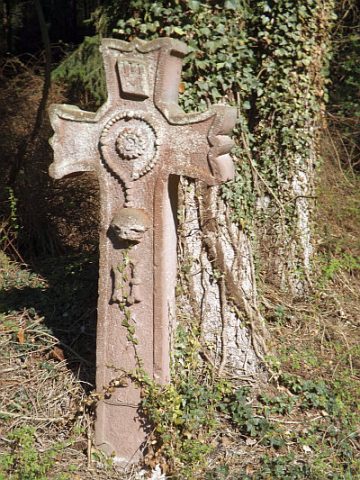 270 m
Wayside Shrines and Stations of the Cross
Totengedächtniskreuz
Find Sites
Eisenzeitliche Keramik
Wayside Shrines and Stations of the Cross
Wegekreuz
Mills
Beckersmühle am Welschbilliger Bach
Settlements
Ehemalige Siedlung Zu Jünken
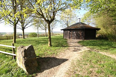 390 m
Place Names / Local History
Ortsgeschichte
Field Names