Mills · Gothic
Burgmühle am Welschbilliger Bach


© GeoBasis-DE / LVermGeoRP, dl-de/by-2-0
There is no picture of this object yet. Do you have a photo that you would like to make available to the Kulturdatenbank? Submit a picture
Description
This description is only available in German.
Translate with Google opens this page in Google Translate (external service)
Früher: Niederste Mühle. Das jetzige Wohnhaus ist die alte Mühle. Es wurde um 1850 so verändert, wie es sich heute darbietet. Seit 1874 besteht hier eine Hozschneidemühle. Der Getreidemahlgang wurde noch bis 1929 benützt. [1]
Classification
- Subject area
- Architectural and Art Monuments
- Object type
- Mills
- Date
- 1395
- Period
- Gothic
Location
- District
- Trier-Saarburg
- Collective municipality
- Trier-Land
- Municipality
- Welschbillig
- Locality / location
- Burgmühle
- Field name
- In der Au
- Coordinates
- WGS 84: 49.852304, 6.591418 (Position: exact) WGS 84: 49° 51′ 08.3″ N, 6° 35′ 29.1″ E UTM 32 (ETRS89): E 326864 · N 5524992
Sources
Data sources
- [1] Eduard Lichter: Welschbillig und Umgebung. Ein Beitrag zur Geschichte der Südwesteifel. 1977. Schriftenreihe Ortschroniken des Trierer Landes, Band 14.
On the internet
Last edited: 10 Feb 2013 Object ID: 7555
https://kulturdb.de/en/objekt/7555-welschbillig-burgmuehle-am-welschbilliger-bach
Nearby
The nearest objects
Field Names
Trägerberg
 170 m
Wayside Shrines and Stations of the Cross
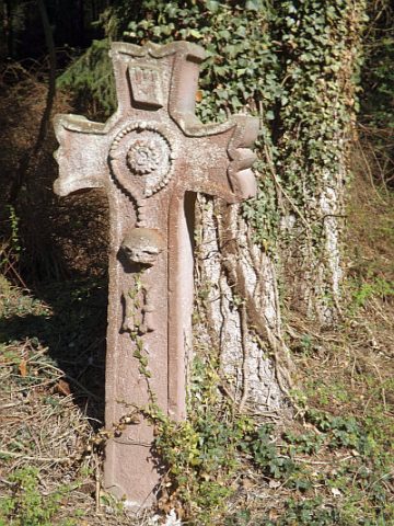
Totengedächtniskreuz
Mills
Beckersmühle am Welschbilliger Bach
Field Names
Am Mühlenberg
Find Sites
Eisenzeitliche Keramik
Wayside Shrines and Stations of the Cross
Wegekreuz
Field Names
Hinterste Trägerwies
Settlements