Field Names · Undated
In der Langfuhr


© GeoBasis-DE / LVermGeoRP, dl-de/by-2-0
There is no picture of this object yet. Do you have a photo that you would like to make available to the Kulturdatenbank? Submit a picture
Description
This description is only available in German.
Translate with Google opens this page in Google Translate (external service)
Der Flurname weist auf die langgestreckte Form eines Flurstückes hin.
Classification
- Subject area
- History
- Category
- Field Names
- Date
- Undatiert
- Period
- Undated
Location
- District
- Trier-Saarburg
- Collective municipality
- Ruwer
- Municipality
- Thomm
- Field name
- In der Langfuhr
- Coordinates
- WGS 84: 49.746149, 6.795082 (Position: exact) WGS 84: 49° 44′ 46.1″ N, 6° 47′ 42.3″ E UTM 32 (ETRS89): E 341156 · N 5512740
Sources
Data sources
- Hessisches Landesamt für geschichtliche Landeskunde. http://www.hlgl.de
On the internet
Last edited: 4 Apr 2014 Object ID: 34281
https://kulturdb.de/en/objekt/34281-thomm-in-der-langfuhr
Nearby
The nearest objects
Field Names
Auf Kongeltkaul
Field Names
Auf der Jauch
Field Names
In der Krummfuhr
Field Names
Kongeltgraben
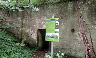 440 m
Fortresses and Bunkers
Wasserbunker
Field Names
Beim Diebsbaum
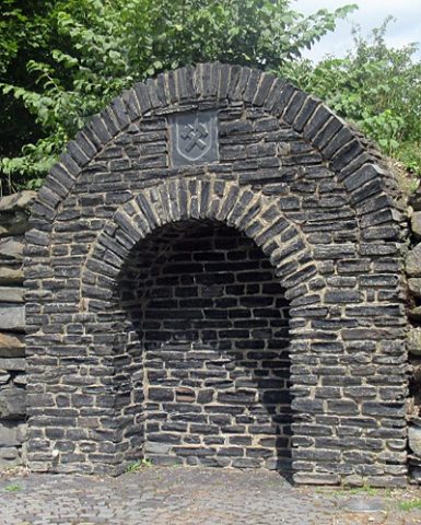 480 m
Field Names
Margarethastollen im Thommerberg
Extraction and Processing of Raw Materials