Field Names · Undated
Auf der Jauch


© GeoBasis-DE / LVermGeoRP, dl-de/by-2-0
There is no picture of this object yet. Do you have a photo that you would like to make available to the Kulturdatenbank? Submit a picture
Description
This description is only available in German.
Translate with Google opens this page in Google Translate (external service)
Jaucht ist entstanden aus ahd. jûhhart, mhd. jiuchart, jûchart st. N. F. 'ein Morgen Ackermaß', eigentlich 'die Fläche, die mit einem Joch Ochsen an einem Tag gepflügt werden kann.' Vermutlich eine Entlehnung aus lat. iugerum. Der FlN ist regelrecht diphthongiert. [1]
Classification
- Subject area
- History
- Category
- Field Names
- Date
- Undatiert
- Period
- Undated
Location
- District
- Trier-Saarburg
- Collective municipality
- Ruwer
- Municipality
- Thomm
- Field name
- Auf der Jauch
- Coordinates
- WGS 84: 49.748624, 6.794043 (Position: exact) WGS 84: 49° 44′ 55.0″ N, 6° 47′ 38.6″ E UTM 32 (ETRS89): E 341089 · N 5513017
Sources
Data sources
- [1 ]http://cgi-host.uni-marburg.de/~hlgl/mhfb/id.cgi?table=flurname&lin…
- [2] http://www.thomm-online.de/fotoalbum.htm
On the internet
Last edited: 13 Jan 2026 Object ID: 28328
https://kulturdb.de/en/objekt/28328-thomm-auf-der-jauch
Nearby
The nearest objects
Field Names
In der Langfuhr
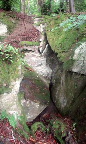 420 m
Extraction and Processing of Raw Materials
Stolleneingang Grube Mertesnaf
Field Names
Auf Kongeltkaul
Extraction and Processing of Raw Materials
Stolleneingang
Extraction and Processing of Raw Materials
Stollen Eugen
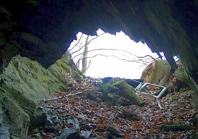 540 m
Extraction and Processing of Raw Materials
Historische Schiefergrube
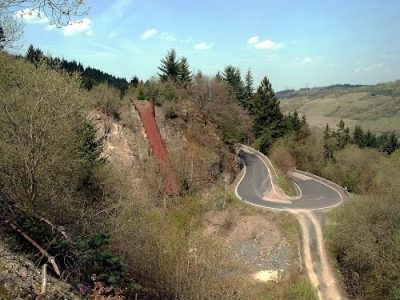 580 m
Extraction and Processing of Raw Materials
Steinbruch Thommerberg - Fördereinrichtung
Extraction and Processing of Raw Materials