Field Names · Undated
In der Langfuhr


© GeoBasis-DE / LVermGeoRP, dl-de/by-2-0
There is no picture of this object yet. Do you have a photo that you would like to make available to the Kulturdatenbank? Submit a picture
Description
This description is only available in German.
Translate with Google opens this page in Google Translate (external service)
Der Flurname weist auf die langgestreckte Form eines Flurstückes hin.
Classification
- Subject area
- History
- Category
- Field Names
- Date
- Undatiert
- Period
- Undated
Location
- District
- City of Trier
- Collective municipality
- Verbandsfreie Gemeinde Trier
- Town
- Trier
- Locality / location
- Zewen
- Field name
- In der Langfuhr
- Coordinates
- WGS 84: 49.716649, 6.589217 (Position: exact) WGS 84: 49° 42′ 59.9″ N, 6° 35′ 21.2″ E UTM 32 (ETRS89): E 326221 · N 5509917
Sources
Data sources
- Hessisches Landesamt für geschichtliche Landeskunde. http://www.hlgl.de
On the internet
Last edited: 4 Apr 2014 Object ID: 34290
https://kulturdb.de/en/objekt/34290-trier-in-der-langfuhr
Nearby
The nearest objects
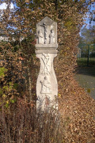 320 m
Wayside Shrines and Stations of the Cross
Biesterkreuz
Street Names
Im Biest
Place Names / Local History
Oberkirch
Field Names
Auf der Kircher Wies
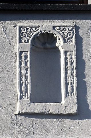 350 m
Town Houses and Commercial Buildings
Wandnische
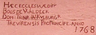 400 m
Inscriptions
Sankt Michael - Inschrift über Westportal
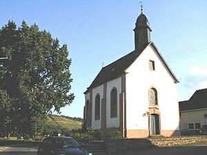 410 m
Catholic Churches
Sankt Michael
Fortresses and Bunkers