Extraction and Processing of Raw Materials · Undated
Mühlsteinbruch


Description
This description is only available in German.
Translate with Google opens this page in Google Translate (external service)
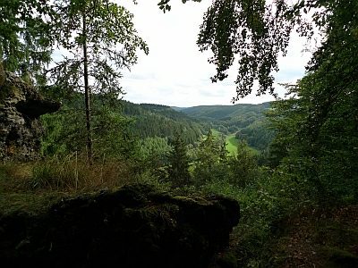
Direkt an einer Grillhütte im Wald gelegene Zeugen eines früher hier betriebenen Gewerbes.
Classification
- Subject area
- Architectural and Art Monuments
- Category
- Economy, Trade and Transport
- Object type
- Extraction and Processing of Raw Materials
- Date
- Undatiert
- Period
- Undated
Location
- District
- Vulkaneifel
- Collective municipality
- Daun
- Municipality
- Üdersdorf
- Locality / location
- Tettscheid
- Field name
- Auf dem Teller
- Coordinates
- WGS 84: 50.150734, 6.811786 (Position: exact) WGS 84: 50° 09′ 02.6″ N, 6° 48′ 42.4″ E UTM 32 (ETRS89): E 343675 · N 5557683
Sources
Data sources
- Homepage der Ortsgemeinde
On the internet
Picture credits
Last edited: 13 Sep 2009 Object ID: 3443
https://kulturdb.de/en/objekt/3443-uedersdorf-muehlsteinbruch
Nearby
The nearest objects
 less than 10 m
Rocks
Basaltlavastrom Klosterkammer
No picture
190 m
Extraction and Processing of Raw Materials
Mühlsteinbruch Müllekaul
 240 m
Rocks
Basalt- und Tufffelsen auf dem Tellerberg
250 m
Viewpoints
Tellerley - Aussichtspunkt
No picture
290 m
Field Names
Im Kloster
No picture
380 m
Field Names
Bei der Sandkaul
No picture
440 m
Field Names
In der Eichheld auf der Schläft
No picture
440 m
Field Names