Field Names · Undated
In der Sauerwies


© GeoBasis-DE / LVermGeoRP, dl-de/by-2-0
There is no picture of this object yet. Do you have a photo that you would like to make available to the Kulturdatenbank? Submit a picture
Description
This description is only available in German.
Translate with Google opens this page in Google Translate (external service)
Sauer – Bedeutung: Den Namen liegt das Adjektiv sauer, althochdeutsch sûr ‚bitter‘, mittelhochdeutsch sûr ‚sauer, herb, scharf, bitter‘ zu Grunde. Sie verweisen in der Regel auf die geringe Bodenqualität; so sind Sauerwiesen meist Wiesen in feuchtem oder nassem Gelände, auf dem nur Sauergräser gedeihen. [1]
Classification
- Subject area
- History
- Category
- Field Names
- Date
- Undatiert
- Period
- Undated
Location
- District
- Vulkaneifel
- Collective municipality
- Daun
- Municipality
- Immerath
- Field name
- In der Sauerwies
- Coordinates
- WGS 84: 50.130547, 6.960168 (Position: exact) WGS 84: 50° 07′ 50.0″ N, 6° 57′ 36.6″ E UTM 32 (ETRS89): E 354213 · N 5555138
Sources
Data sources
- [1] Hessisches Landesamt für geschichtliche Landeskunde http://www.hlgl.de
On the internet
Last edited: 21 Apr 2014 Object ID: 34433
https://kulturdb.de/en/objekt/34433-immerath-in-der-sauerwies
Nearby
The nearest objects
Field Names
Ober der Sauerwies
 130 m
Dry Maars
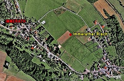
Vulkan Immerather Risch
160 m
Dry Maars
Immerather Risch
Wayside Shrines and Stations of the Cross
Wegekreuz
Field Names
Im Neuenpesch
Wayside Shrines and Stations of the Cross
Wegekreuz
Catholic Churches
Kirche
Settlements